Matobo Hills, Mountain system and UNESCO World Heritage Site in Matabeleland South, Zimbabwe
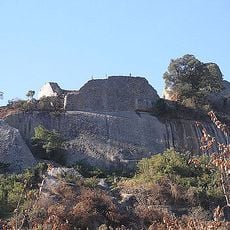
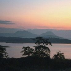
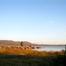
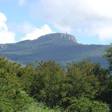
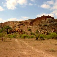
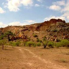
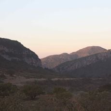
Matobo Hills is a granite landscape of whaleback dwalas and broken kopjes about 35 km south of Bulawayo, southern Zimbabwe, and a UNESCO World Heritage Site since 2003. The hills cover roughly 3,100 km², of which 424 km² form Matobo National Park, with narrow swampy valleys called dambos between the domes. The balancing rocks known as Mother and Child Kopje are among the formations visitors can spot.
The area has been home to people for thousands of years, and the San used it as a spiritual center long before European settlers arrived in the late 19th century. It became Zimbabwe's first national park in 1926, which changed how the land was used and managed from that point on.
The San people left rock paintings across the hills showing animals, hunting scenes, and spiritual figures, and many of these images are still visible today. Some sites remain sacred and are still visited by descendants of local communities for ceremonies.
The area is most easily reached by car from Bulawayo, and guided tours are a good way to find the key spots across the hills. The rocks absorb a lot of heat, so starting early in the morning and carrying enough water makes the visit much more comfortable.
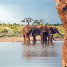
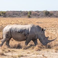
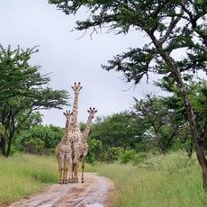
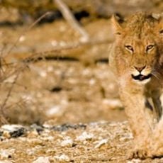
Matobo holds the world's densest population of leopards, drawn by hyrax, which make up half their diet. The hills also have the highest concentration of black eagles and breeding pairs anywhere, and a 100 km2 game park restocked with white rhinos from KwaZulu-Natal in the 1960s and black rhinos from the Zambezi Valley in the 1990s.
The community of curious travelers
AroundUs brings together thousands of curated places, local tips, and hidden gems, enriched daily by 93,120 contributors worldwide.