
مزرعة داود دوران
Location: N'Djaména انجمينا
GPS coordinates: 12.17724,14.94482
Latest update: October 15, 2025 21:42
Lamidat de Rey-Bouba
398.9 km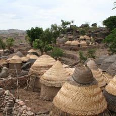
Sukur
219.1 km
Chad Basin National Park
224.9 km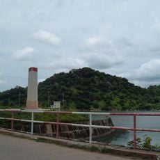
Lagdo Reservoir
386.3 km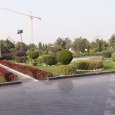
Pink Palace (Chad)
12.6 km
Chad National Museum
15.5 km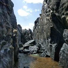
Gorges de Kola
280.4 km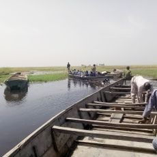
Hadejia-Nguru wetlands
436.1 km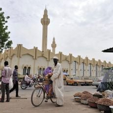
N'Djamena Grand Mosque
13.7 km
Gooya valley, Yobe
407.8 km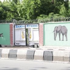
Sanda Kyarimi Park
199.4 km
Bidzar
274.3 km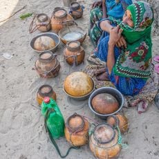
Yao
294 km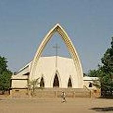
Cathedral of Our Lady, N'Djamena
12.4 km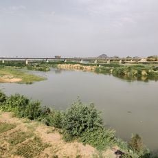
Bridge over Benoué
362.2 km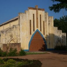
Sacred Heart Cathedral, Moundou
421.1 km
Bridge of Taiwan
20.5 km
Plaine de Massenya
174.2 km
Cathedral of Sts. Peter and Paul, Pala
313.8 km
National Library of Chad
15.5 km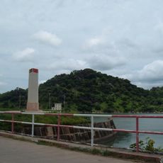
Barrage de Lagdo
373.2 km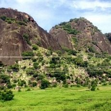
Three Sisters Rocks
365.5 km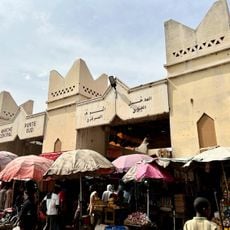
Marché Central
13.8 km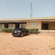
Yola Town Post Office, Yola South, Adamawa State
426.9 km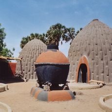
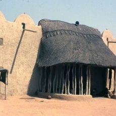
Cases obus de Mourla
147.1 km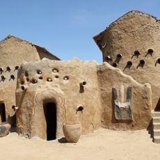
The Gaoui Museum
22.2 km
Yobe State library Board
325.7 km
Manda National Park
452.8 kmReviews
Visited this place? Tap the stars to rate it and share your experience / photos with the community! Try now! You can cancel it anytime.
Discover hidden gems everywhere you go!
From secret cafés to breathtaking viewpoints, skip the crowded tourist spots and find places that match your style. Our app makes it easy with voice search, smart filtering, route optimization, and insider tips from travelers worldwide. Download now for the complete mobile experience.

A unique approach to discovering new places❞
— Le Figaro
All the places worth exploring❞
— France Info
A tailor-made excursion in just a few clicks❞
— 20 Minutes