William Phillip Tunnel
Location: Kouga Local Municipality
GPS coordinates: -33.82172,24.84828
Latest update: October 20, 2025 15:53
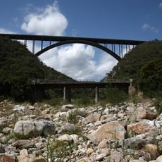
Van Stadens Bridge
33.6 km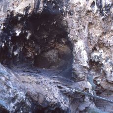
Klasies River Caves
53 km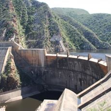
Kouga Dam
25.6 km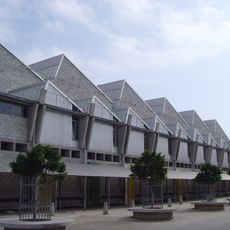
Red Location Museum
70.5 km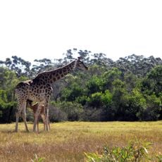
Kragga Kamma Game Park
59.2 km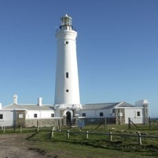
Seal Point Lighthouse
43.5 km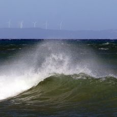
Van Stadens Wind Farm
40 km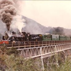
Van Stadens River NG rail bridge
34.1 km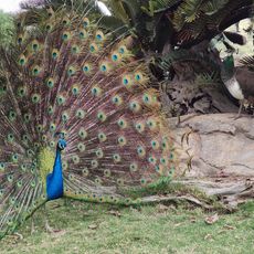
African Dawn Bird and Wildlife Sanctuary
26.5 km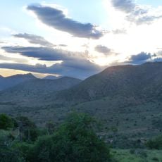
Haaspoort Game Reserve
56 km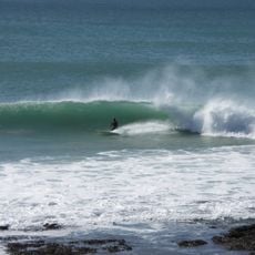
Supertubes
26.4 km
Sarah Bartmann Gravesite
3.8 km
Daniell Cheetah Project
58.8 km
Van Stadens Wildflower Reserve Bird Hide
35 km
Holmeleigh Farmyard
57.7 km
Papiesfontein strand paardrijden
18.7 km
St Francis Bay Heritage Eco Centre
38.8 km
SANCCOB Seabird Rehabilitation Center
43.5 km
Wavecrest Surfschool
26.8 km
Telescope
69.2 km
Cheetah
59.1 km
Cheetah
59.2 km
Lion
59.4 km
Scenic viewpoint
55.7 km
Lions
59.3 km
Surfers Viewpoint
24.5 km
Dune Viewpoint
21.6 km
Scenic viewpoint
25.7 kmReviews
Visited this place? Tap the stars to rate it and share your experience / photos with the community! Try now! You can cancel it anytime.
Discover hidden gems everywhere you go!
From secret cafés to breathtaking viewpoints, skip the crowded tourist spots and find places that match your style. Our app makes it easy with voice search, smart filtering, route optimization, and insider tips from travelers worldwide. Download now for the complete mobile experience.

A unique approach to discovering new places❞
— Le Figaro
All the places worth exploring❞
— France Info
A tailor-made excursion in just a few clicks❞
— 20 Minutes