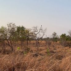
Black forest route
Location: Lukulu District
GPS coordinates: -14.07984,23.82115
Latest update: November 14, 2025 13:33
Kafue National Park
242.4 km
Liuwa Plain National Park
140.3 km
Chavuma Falls
164.6 km
West Lunga National Park
157 km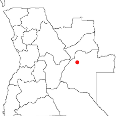
Karipande
169.6 km
Chinyingi Bridge
119.2 km
Quedas do Luizavo
252 km
Sign Post
164.2 km
Scenic viewpoint
247.2 km
Mr Kuyokwas place
67.8 km
Kikonge School
202.4 km
Half way point for 4.15 from g.house
166.7 km
Mufumbwe Council compound No5
165.3 km
Kalengwa mine turnoff
177.2 km
Kikonge
208.8 km
Scenic viewpoint
252.4 km
Waterhole
252.6 km
Scenic viewpoint
240.9 km
Catholic harmermill
165.3 km
Scenic viewpoint
247.4 km
Scenic viewpoint
248.5 km
Sausage Tree
146.6 km
Waterhole
248.7 km
Gerozi Rapids
169.3 km
Waterfall
167.4 km
Waterfall
202.6 km
Waterfall
194.8 km
Waterfall
189 kmReviews
Visited this place? Tap the stars to rate it and share your experience / photos with the community! Try now! You can cancel it anytime.
Discover hidden gems everywhere you go!
From secret cafés to breathtaking viewpoints, skip the crowded tourist spots and find places that match your style. Our app makes it easy with voice search, smart filtering, route optimization, and insider tips from travelers worldwide. Download now for the complete mobile experience.

A unique approach to discovering new places❞
— Le Figaro
All the places worth exploring❞
— France Info
A tailor-made excursion in just a few clicks❞
— 20 Minutes