Archeological Forest Park
Location: מועצה אזורית מטה אשר
GPS coordinates: 33.01442,35.15450
Latest update: November 13, 2025 17:04
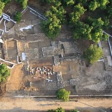
Tel Kabri
1.6 km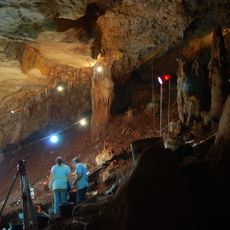
Manot Cave
4.3 km
Byzantine church in Nahariya
4.8 km
Hurvat Manot
3 km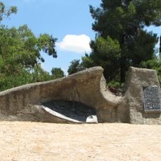
Yechiam Convoy Memorial
2.9 km
Khan Sursock
3.7 km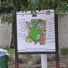
Zoo-Botanical Garden Nahariya
5.2 km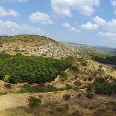
Tel Avdon
3.8 km
Atelier Shemi
724 m
Kabri gallery
1 km
The Edge gallery
5.5 km
Mateh Asher Regional Library
5.2 km
Givat Hamudot
4.1 km
עולם הזוחלים של גולן
5.3 km
H̱orbat Kalil
5.3 km
גבעת המשוריין
2.4 km
Scenic viewpoint
1.8 km
חורבת טבורית
5.6 km
Large Carob Tree lookout
4.1 km
חורבת אשחר
5.1 km
מצבת זכרון השיירה
753 m
חורבת חמסין
4 km
חורבת בית אוריה
5.7 km
חורבת עמד
2.7 km
חורבת שקוף
2.9 km
חורבת סוגר
3.2 km
חורבת עובש
5.8 km
Et Tell
2 kmReviews
Visited this place? Tap the stars to rate it and share your experience / photos with the community! Try now! You can cancel it anytime.
Discover hidden gems everywhere you go!
From secret cafés to breathtaking viewpoints, skip the crowded tourist spots and find places that match your style. Our app makes it easy with voice search, smart filtering, route optimization, and insider tips from travelers worldwide. Download now for the complete mobile experience.

A unique approach to discovering new places❞
— Le Figaro
All the places worth exploring❞
— France Info
A tailor-made excursion in just a few clicks❞
— 20 Minutes