
פודטראק בארקה
Location: מועצה אזורית מגידו
GPS coordinates: 32.64561,35.12324
Latest update: October 15, 2025 21:42
Tel Yokneam
2.5 km
Ein el-Jarba
811 m
Wilfrid Israel Museum
163 m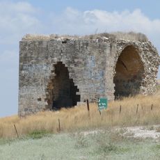
חנות קירה
1.9 km
Mish'ol Hill
2 km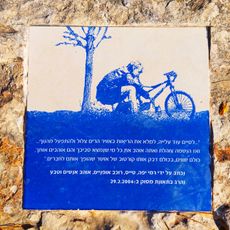
Rami Yaffe's spot
1.3 km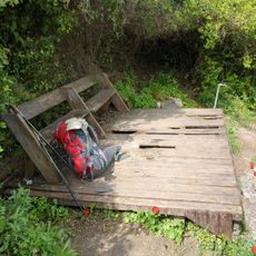
נקודת תצפית מעל קיבוץ הזורע עם ספסל ודק שבור מעץ. יש ברז מים בנקודה
527 m
מצפה איתי
3 km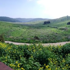
מצפור סיון
2.8 km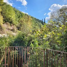
רחבת בטון מגודרת המשקיפה על הנחל.
1.3 km
Memorial, commemorative plaque
1.6 km
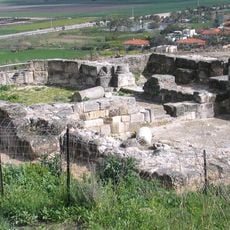
Ruins
2.2 km
אנדרטת יקנעם מושבה
1.5 km
מפל נחל השופט
1.4 km
נחלאות
1.8 km
טחנת קמח בנחל השופט
1.1 km
Theater
2 km
טחנת קמח
1.1 km
Scenic viewpoint
2.2 km
בריכות נחל סנין
1.5 km
גן מטרי
2.2 km
Rock-cut tomb, tomb, cave entrance
941 m
הר הקברות
2.6 km
תל פרור
2.6 km
Ruins
2.7 km
Ruins
2.7 km
Overlook trail
620 m
Work of art, sculpture
299 mReviews
Visited this place? Tap the stars to rate it and share your experience / photos with the community! Try now! You can cancel it anytime.
Discover hidden gems everywhere you go!
From secret cafés to breathtaking viewpoints, skip the crowded tourist spots and find places that match your style. Our app makes it easy with voice search, smart filtering, route optimization, and insider tips from travelers worldwide. Download now for the complete mobile experience.

A unique approach to discovering new places❞
— Le Figaro
All the places worth exploring❞
— France Info
A tailor-made excursion in just a few clicks❞
— 20 Minutes