
Сююрташский грязевой вулкан
Location: Белинское сельское поселение
GPS coordinates: 45.44607,36.11205
Latest update: July 24, 2025 14:54
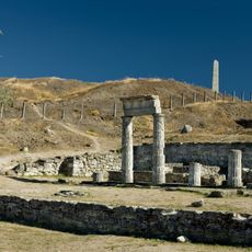
Panticapaeum
29.8 km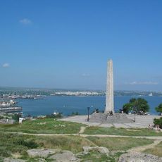
Mount Mithridat
29.9 km
Kazantypskyi State Nature Reserve
21 km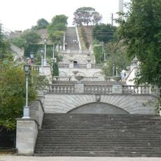
Grand Mithridates stairs
30.1 km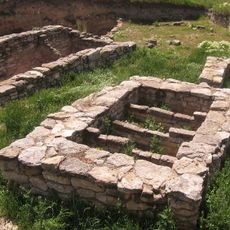
Tyritake
29.8 km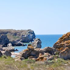
Karalarsky Park
11.6 km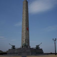
Obelisk of Glory
30 km
Demeter's Crypt
29.6 km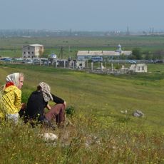
Katerlezsky Saint George Monastery
26.5 km
Melek-Chesme kurghan
29.5 km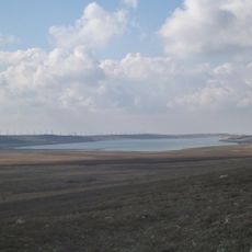
Kerchensk Reservoir
12.7 km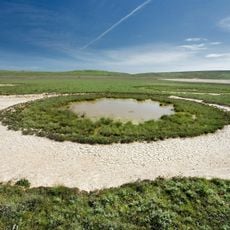
Bulganak field of mud volcanoes
28.3 km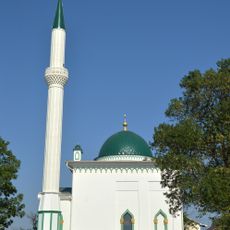
Kerch Mosque
28.1 km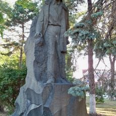
Volodya Dubinin monument in Kerch
29.9 km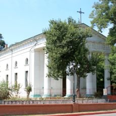
Church of the Assumption in Kerch
30.1 km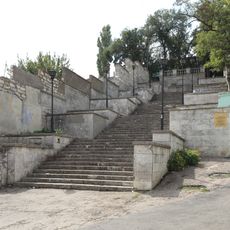
Small Mithridates stairs
29.9 km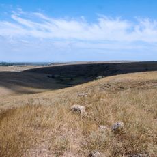
Ilurat Archeological Complex
22.8 km
Astaninskie plavni
19.1 km
Караларские каменоломни
6.1 km
Zelyony Yar Reservoir
14.7 km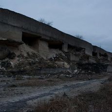
Bagerovsky quarries
16.4 km
Музей морської флори і фауни (Керч)
30 km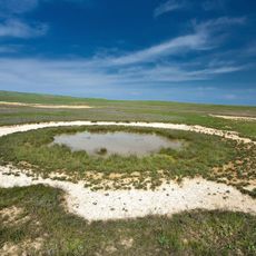
Obrucheva Mud Volcano
28.9 km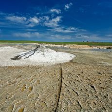
Andrusova Mud Volcano
28.6 km
Chokrak Resort
16.2 km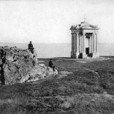
Chapelle de Stempkovsky
30 km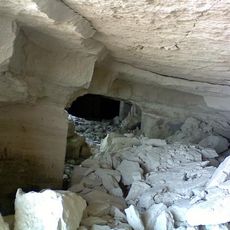
Tashkalak quarries
16.5 km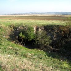
Turkmen quarries
23.2 kmReviews
Visited this place? Tap the stars to rate it and share your experience / photos with the community! Try now! You can cancel it anytime.
Discover hidden gems everywhere you go!
From secret cafés to breathtaking viewpoints, skip the crowded tourist spots and find places that match your style. Our app makes it easy with voice search, smart filtering, route optimization, and insider tips from travelers worldwide. Download now for the complete mobile experience.

A unique approach to discovering new places❞
— Le Figaro
All the places worth exploring❞
— France Info
A tailor-made excursion in just a few clicks❞
— 20 Minutes