Bald Hill Mine
Location: Hill End
Location: Bathurst Regional Council
GPS coordinates: -33.03693,149.40619
Latest update: November 1, 2025 09:05
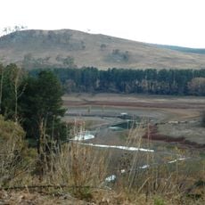
Suma Park Dam
37.2 km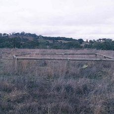
Grave of Windradyne
37.5 km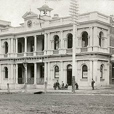
Orange Post Office
39.6 km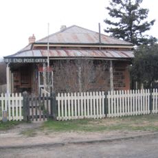
Hill End Historic Site
1.1 km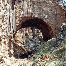
Golden Gully and Archway
2.5 km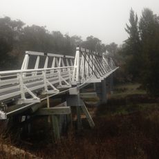
Wallaby Rocks Bridge
23.1 km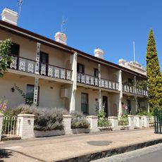
Bowen Terrace
39.3 km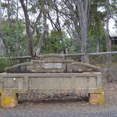
Horse trough
1.6 km
Scenic viewpoint
5.6 km
Beaufoy Merlin Lookout
1.4 km
Analemmatic Sundial
37.6 km
Scenic Dune Buggies
5.7 km
Orange Regional Gallery
39.2 km
Work of art, sculpture
37.9 km
Peace Pole
37.7 km
Scenic viewpoint
1.8 km
Kissing Point
1.3 km
The Arch
2.5 km
Scenic viewpoint
24.6 km
Rotary Lookout
37.9 km
Lookout
38 km
Scenic viewpoint
28.5 km
Memorial
1.1 km
Monument
21.4 km
Memorial
35.2 km
Cenotaph
39.5 km
Grave of Windradyne
35.2 km
Memorial
35.3 kmReviews
Visited this place? Tap the stars to rate it and share your experience / photos with the community! Try now! You can cancel it anytime.
Discover hidden gems everywhere you go!
From secret cafés to breathtaking viewpoints, skip the crowded tourist spots and find places that match your style. Our app makes it easy with voice search, smart filtering, route optimization, and insider tips from travelers worldwide. Download now for the complete mobile experience.

A unique approach to discovering new places❞
— Le Figaro
All the places worth exploring❞
— France Info
A tailor-made excursion in just a few clicks❞
— 20 Minutes