Unterirdischer Abfluss
Location: Schönau am Königssee
GPS coordinates: 47.50651,12.96801
Latest update: October 11, 2024 01:52
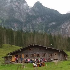
Fischunkelalm
2.3 km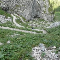
Saugasse
2.9 km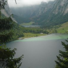
Saletalm
1.9 km
Salzgrabenhöhle
2.2 km
Kaunersteig
2.8 km
Ebenhorn
1.6 km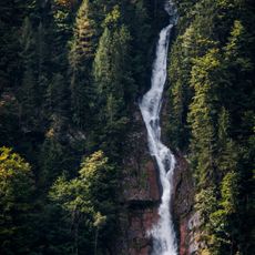
Schrainbachfall am Königssee
2.7 km
Simets-Berg
1.8 km
Feldkogel
1.5 km
Kuhscheibe
647 m
Glunkerer
1.9 km
Hochscheibe
2.1 km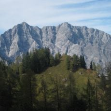
Halsköpfl
668 m
Tal Wand
2.6 km
Graskopf
2.9 km
Stuhljoch
1.9 km
Landtal Wand
2.9 km
Kauner Wand
2.3 km
Weg zum Obersee
1.7 km
Stoawandvestl
2.7 km
Betstein
2.7 km
Christianity, wayside shrine
2.7 km
St. Leonhard
2.6 km
Mausbachfall
2.7 km
Unterirdischer Abfluss
2.5 km
Foaster Jesus
2.9 km
Wayside cross
2.1 km
Catholic church building, wayside cross, Christianity
1.6 kmReviews
Visited this place? Tap the stars to rate it and share your experience / photos with the community! Try now! You can cancel it anytime.
Discover hidden gems everywhere you go!
From secret cafés to breathtaking viewpoints, skip the crowded tourist spots and find places that match your style. Our app makes it easy with voice search, smart filtering, route optimization, and insider tips from travelers worldwide. Download now for the complete mobile experience.

A unique approach to discovering new places❞
— Le Figaro
All the places worth exploring❞
— France Info
A tailor-made excursion in just a few clicks❞
— 20 Minutes