Vorderkaserklamm
Location: Sankt Martin bei Lofer
GPS coordinates: 47.52139,12.70362
Latest update: November 17, 2025 14:22
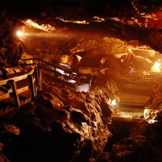
Lamprechtsofen
2.7 km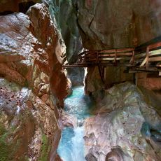
Seisenbergklamm
4.4 km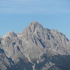
Großes Ochsenhorn
3.7 km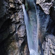
Vorderkaserklamm
179 m
Burgruine Saalegg
2.5 km
Prax-Eishöhle
4.2 km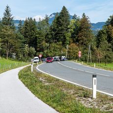
Pass Luftenstein
4.4 km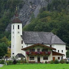
Pfarrkirche hl. Dreifaltigkeit, Weißbach bei Lofer
3.8 km
Großes Rothorn
3 km
Heueck
3.5 km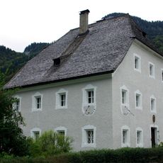
Pfarrhof
3.8 km
Lahnerhorn
2.3 km
Kleines Rothorn
3.4 km
Work of art
3.6 km
Kapelle
2.6 km
Work of art
3.8 km
Statue, Work of art
3.4 km
Scenic viewpoint
1.8 km
Wayside cross
4 km
Wayside shrine, Christianity
2.9 km
Freilaufende Hühner
2.7 km
Wayside shrine
4.1 km
Wayside shrine, Christianity
4.4 km
Wayside cross
4.4 km
Wayside cross
2.1 km
Wayside cross
3.6 km
Seisenbergklamm
4.3 km
Waterfall
38 mReviews
Visited this place? Tap the stars to rate it and share your experience / photos with the community! Try now! You can cancel it anytime.
Discover hidden gems everywhere you go!
From secret cafés to breathtaking viewpoints, skip the crowded tourist spots and find places that match your style. Our app makes it easy with voice search, smart filtering, route optimization, and insider tips from travelers worldwide. Download now for the complete mobile experience.

A unique approach to discovering new places❞
— Le Figaro
All the places worth exploring❞
— France Info
A tailor-made excursion in just a few clicks❞
— 20 Minutes