Durance Canoe
Location: Tallard
Operator: Durance Canoe
GPS coordinates: 44.46155,6.05986
Latest update: October 15, 2025 21:43
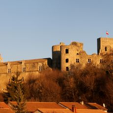
Château de Tallard
347 m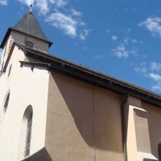
Église Saint-Grégoire de Tallard
283 m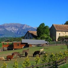
La Ferme du Col
5.7 km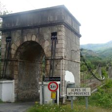
Pont de Venterol
4.4 km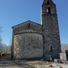
Chapelle Saint-Pierre de Curbans
4.5 km
Saint-Abdon
1.2 km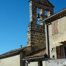
Église Notre-Dame de Curbans
4 km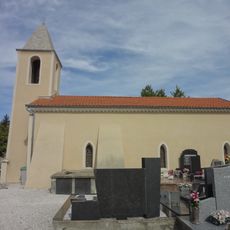
Église Saint-Colomban de Piégut
5.6 km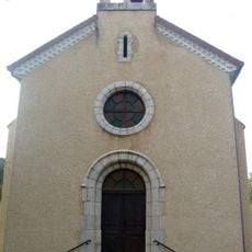
Église Saint-Martin de Fouillouse
4.6 km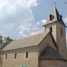
Église de Neffes
5.6 km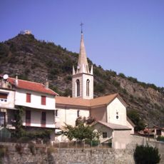
Église Saint-Jean-Baptiste-et-Saint-Marcellin de La Saulce
5.8 km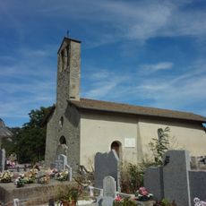
Chapelle Saint-Jean-Baptiste des Tourniaires
2.8 km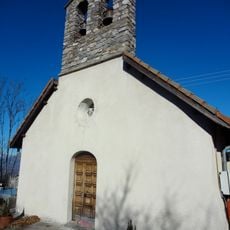
Église Saint-Maxime de Riez d'Urtis
3.6 km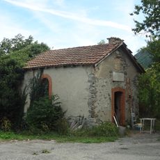
Chapelle de Neyrac de Piégut
6.2 km
Sommet de Serre-Brouchou
5 km
Sommet de Monserieux
5.8 km
Vue sur Gapençais & Écrins
4.5 km
Scenic viewpoint
4.7 km
Toposcope, scenic viewpoint
6 km
Scenic viewpoint
1.8 km
Scenic viewpoint
2.7 km
La Saulce Vieille
5.6 km
Stèle Paul HERAUD-Marius MEYERE
2.4 km
Memorial, war memorial
5.5 km
Catholic church building, wayside cross
5.4 km
Monument aux morts
4.3 km
Wayside shrine
3.8 km
Waterfall
839 mReviews
Visited this place? Tap the stars to rate it and share your experience / photos with the community! Try now! You can cancel it anytime.
Discover hidden gems everywhere you go!
From secret cafés to breathtaking viewpoints, skip the crowded tourist spots and find places that match your style. Our app makes it easy with voice search, smart filtering, route optimization, and insider tips from travelers worldwide. Download now for the complete mobile experience.

A unique approach to discovering new places❞
— Le Figaro
All the places worth exploring❞
— France Info
A tailor-made excursion in just a few clicks❞
— 20 Minutes