Saalkirche
Location: Bonn-Beuel
Location: Bonn
GPS coordinates: 50.72352,7.18664
Latest update: October 11, 2024 04:13
Ennert
951 m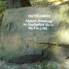
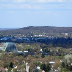
Paffelsberg
1 km
Gut Ettenhausen
1.1 km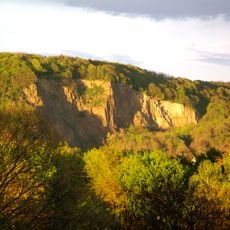
Kuckstein
1.1 km
Röckesberg
976 m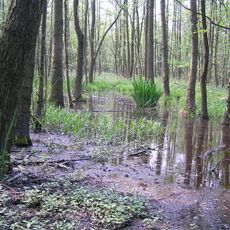
Siebengebirge Teilgebiet Ennert
1.1 km
LSG-Niederholtorf/Oberholtorf/Hoholz/Roleber/Gellenbachtal
202 m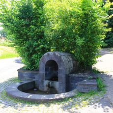
Quelle Oberholtorf (Holtorf)
71 m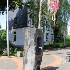
Brunnen Antoniusplatz (Holtorf)
822 m
Guardinistraße 34
964 m
Löwenburgstraße 81
1.1 km
Löwenburgstraße 87
1 km
Christianity, Catholic church building, wayside cross
498 m
Wayside shrine
346 m
Christianity, Catholic church building, wayside cross
835 m
Missionskreuz
765 m
Catholic church building, wayside cross, Christianity
731 m
Wayside cross
607 m
Caspar Küh- bacher und Maria Josepha Pohl vom Heiderhof im Jahre 1846
1 km
Catholic church building, wayside cross, Christianity
1 km
Christianity, Catholic church building, wayside cross
502 m
Wayside cross
938 m
Wayside cross
217 m
Wayside cross
88 m
Rabenlay
1.1 km
Wayside cross
79 m
Scenic viewpoint
1.2 km
Rabenlay Skywalk
1.2 kmReviews
Visited this place? Tap the stars to rate it and share your experience / photos with the community! Try now! You can cancel it anytime.
Discover hidden gems everywhere you go!
From secret cafés to breathtaking viewpoints, skip the crowded tourist spots and find places that match your style. Our app makes it easy with voice search, smart filtering, route optimization, and insider tips from travelers worldwide. Download now for the complete mobile experience.

A unique approach to discovering new places❞
— Le Figaro
All the places worth exploring❞
— France Info
A tailor-made excursion in just a few clicks❞
— 20 Minutes