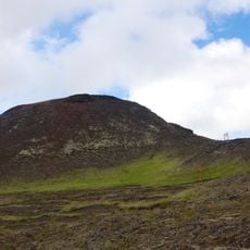
Arnarker
Location: Sveitarfélagið Ölfus
GPS coordinates: 63.89291,-21.49519
Latest update: November 22, 2025 08:43
Þríhnúkagígur
15.4 km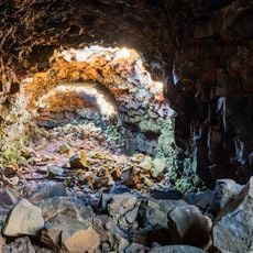
Raufarhólshellir
7.1 km
RAF Kaldadarnes
16.4 km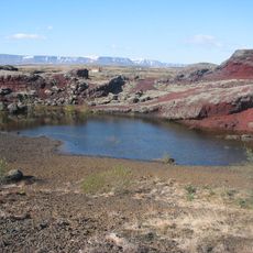
Brennisteinsfjöll
16.8 km
Búri
2.4 km
Kaldaðarnes
16.4 km
Flói Nature Reserve
15.2 km
Eldborg í Bláfjöllum
13.6 km
The Árnesinga Folk Museum
17.2 km
Kotstrandarkirkja
19.4 km
Phare de Þorlákshöfn
8.1 km
Phare de Selvogur
11.1 km
Þorlákshafnarvöllur
6.4 km
Þjóðvegur 1
18.5 km
Hafnarskeið
7.2 km
Eternity Geysir
19.2 km
The Lava Tunnel
7.1 km
Abandoned shack
14.8 km
Hveragerði Geothermal Park
19.2 km
Leitin
13 km
Hafnarskeið
6.7 km
Thorli beach
6.5 km
Björgunarsveitin Björg
16.8 km
Chair
12.8 km
Íslandsvitinn
19.3 km
Work of art
13.3 km
Scenic viewpoint
18.4 km
Scenic viewpoint
16.5 kmReviews
Visited this place? Tap the stars to rate it and share your experience / photos with the community! Try now! You can cancel it anytime.
Discover hidden gems everywhere you go!
From secret cafés to breathtaking viewpoints, skip the crowded tourist spots and find places that match your style. Our app makes it easy with voice search, smart filtering, route optimization, and insider tips from travelers worldwide. Download now for the complete mobile experience.

A unique approach to discovering new places❞
— Le Figaro
All the places worth exploring❞
— France Info
A tailor-made excursion in just a few clicks❞
— 20 Minutes