Hoedestupet
Location: Sveg distrikt
Location: Härjedalens kommun
GPS coordinates: 62.00090,13.76564
Latest update: November 2, 2025 17:33
Städjan
47.3 km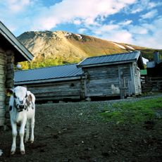
Sonfjället National Park
32.9 km
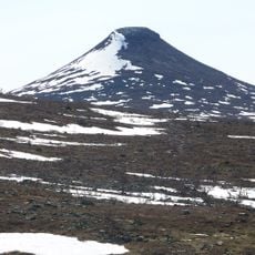
Städjan-Nipfjället
46.3 km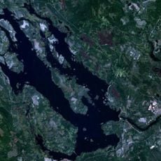
Svegssjön
19.9 km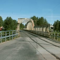
Mankellbron
31 km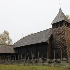
Särna gammelkyrka
47.2 km
Veman
23.6 km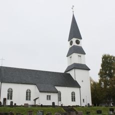
Särna Church
47.4 km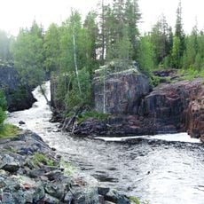
Hoedestupet
26 m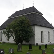
Hede church
48.2 km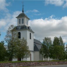
Lillhärdals kyrka
23 km
Duvberg
28.5 km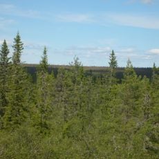
Rödberget
46.4 km
Nyvallen
36.4 km
Vedungsfjällen
28.4 km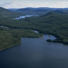
Vikarsjön
43.3 km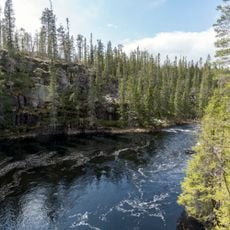
Norra Trollegrav
40.3 km
Hede 222:1
37.8 km
Grävtwalt
26.1 km
Holmvallen
45.8 km
Uppvallens fäbod
30.6 km
Björnen
31.5 km
Hälsingstenen
44.9 km
Scenic viewpoint
46 km
Scenic viewpoint
32.7 km
Scenic viewpoint
42.5 km
Glötesåsens utsiktsplats
17.2 km
Scenic viewpoint
20.7 kmReviews
Visited this place? Tap the stars to rate it and share your experience / photos with the community! Try now! You can cancel it anytime.
Discover hidden gems everywhere you go!
From secret cafés to breathtaking viewpoints, skip the crowded tourist spots and find places that match your style. Our app makes it easy with voice search, smart filtering, route optimization, and insider tips from travelers worldwide. Download now for the complete mobile experience.

A unique approach to discovering new places❞
— Le Figaro
All the places worth exploring❞
— France Info
A tailor-made excursion in just a few clicks❞
— 20 Minutes