Міст Харіна
Location: Глеюватська сільська громада
GPS coordinates: 48.08070,33.54125
Latest update: October 28, 2025 11:01
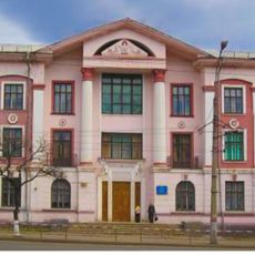
33 Vatutina Street, Kryvyi Rih
8.3 km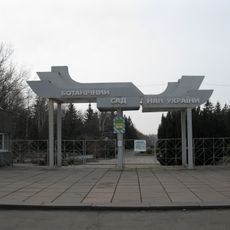
Botanical garden in Kryvyi Rih
8.2 km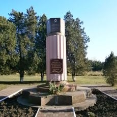
Monument to the dead miners, Kryvyi Rih
8.1 km
Veseli Terny
3.1 km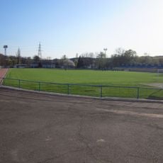
Zhovtneva Mine Stadium
12.5 km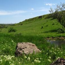
Landscape Reserve Chervona Balka Pivnichna
3.4 km
Tomb of Baba Memorial
7 km
Крэсовское водохранилище
9 km
Шахта «Козацька»
4.7 km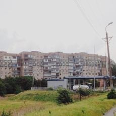
Soniachnyi
15.6 km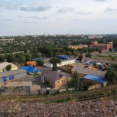
Bilshovyk
14.8 km
Bazhanove
13.4 km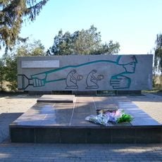
In The Firing Line memorial, Kryvyi Rih
4.1 km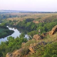
Landscape Reserve Inhuletskyi Step
16.5 km
Nature conservation area Balka Pivnichna Chervona
3.4 km
Skhidnyi-2, 3
15.9 km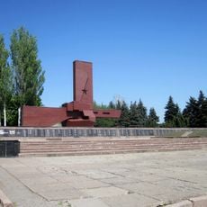
They Shall Not Pass memorial in Kryvyi Rih
3.1 km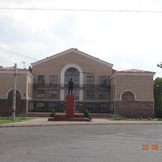
Имени Фрунзе
10.8 km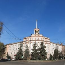
Administrative building of the mine management of production association "Yugruda"
8.9 km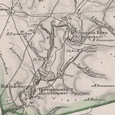
Vechirnii Kut
12.4 km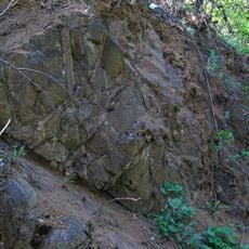
Vykhody amfibolitiv
16.5 km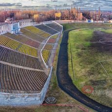
Sukha Balka Stadium
7.5 km
Saksahan arboretum
7.5 km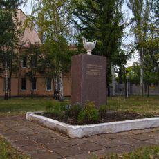
Memorial sign to the 50th anniversary of heat-and-power plant in Kryvyi Rih
11.5 km
Руїни "Червоний міст"
2.5 km
Квітка Кривбасу
15.2 km
Сонячний годинник
8.1 km
Scenic viewpoint
10.4 kmReviews
Visited this place? Tap the stars to rate it and share your experience / photos with the community! Try now! You can cancel it anytime.
Discover hidden gems everywhere you go!
From secret cafés to breathtaking viewpoints, skip the crowded tourist spots and find places that match your style. Our app makes it easy with voice search, smart filtering, route optimization, and insider tips from travelers worldwide. Download now for the complete mobile experience.

A unique approach to discovering new places❞
— Le Figaro
All the places worth exploring❞
— France Info
A tailor-made excursion in just a few clicks❞
— 20 Minutes