Лозуватські скелі
Location: Компаніївська селищна громада
GPS coordinates: 48.16901,32.37690
Latest update: October 11, 2024 07:40
Kropyvnytskyi Raion
29 km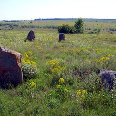
Boundary stones
28.2 km
Kholodnyi Yar National Nature Park
11.4 km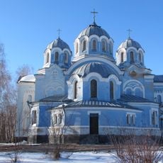
Church of the Ascension, Bobrynets
20.2 km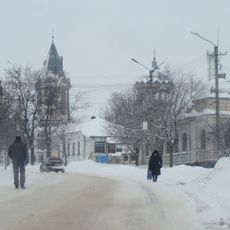
Saint Nicholas church, Bobrynets
20.2 km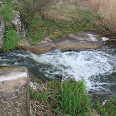
Shumok
25.6 km
Ternyk
25.5 km
Шурхи
31 km
Богданівська балка
20.6 km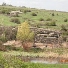
Kvitucha balka
28 km
Chobitok
31.3 km
Садківський степ
29.9 km
خانه پاکارزاده (۲)
25.5 km
Waterfall
20 km
Waterfall
30.2 km
Лавандове поле
27.9 km
Statue, Work of art
23.2 km
Урорчище "Розлитий камінь -2"
20 km
Waterfall
19.8 km
Bobrynets welcomes you
18.5 km
Урорчище "Розлитий камінь"
26.1 km
Work of art
15.5 km
Waterfall
15 km
Крокодил
35.4 km
Оглядовий балкон над річкою
35.5 km
Кіт на ланцюгу
35.6 km
Work of art
35.6 km
Waterfall
35.7 kmReviews
Visited this place? Tap the stars to rate it and share your experience / photos with the community! Try now! You can cancel it anytime.
Discover hidden gems everywhere you go!
From secret cafés to breathtaking viewpoints, skip the crowded tourist spots and find places that match your style. Our app makes it easy with voice search, smart filtering, route optimization, and insider tips from travelers worldwide. Download now for the complete mobile experience.

A unique approach to discovering new places❞
— Le Figaro
All the places worth exploring❞
— France Info
A tailor-made excursion in just a few clicks❞
— 20 Minutes