ДОТи лінії Арпада
Location: Усть-Чорнянська селищна громада
GPS coordinates: 48.33840,23.91281
Latest update: October 27, 2025 08:48
Tiachiv Raion
12.6 km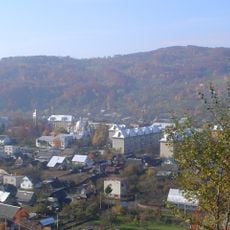
Dubove
18 km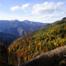
Strimba
13.9 km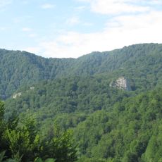
Uholka-Shyrokyi Luh primeval beech forest
15.3 km
Apećka
18.2 km
Museum Altes Dorf
17.2 km
Hora Munchel
17.5 km
Kolochava narrow gauge railway
17.9 km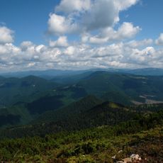
Stranzul, Zadnia, Kedryn
11.4 km
Mount Tataruka
17.6 km
Hora Tempa
12 km
Hora Unharyaska
16.3 km
Hora Bert
14.7 km
Kedrynskyi Reserve
12.1 km
Hladynskyi Reserve
14 km
Ust-Chorna Reserve
5.2 km
Аршична
12.5 km
Бертяник
15.2 km
Ружа
9.4 km
#TremBITA
11.3 km
Work of art
17.7 km
Стара дорога ПCВ
17.6 km
Вид на Старе село та Колочаву
18 km
Гора Топас 1548 м
13.2 km
Гора Сигланський 1564 м
9.2 km
Scenic viewpoint
13.9 km
Scenic viewpoint
12.4 km
Перевал Прислоп
11.4 kmReviews
Visited this place? Tap the stars to rate it and share your experience / photos with the community! Try now! You can cancel it anytime.
Discover hidden gems everywhere you go!
From secret cafés to breathtaking viewpoints, skip the crowded tourist spots and find places that match your style. Our app makes it easy with voice search, smart filtering, route optimization, and insider tips from travelers worldwide. Download now for the complete mobile experience.

A unique approach to discovering new places❞
— Le Figaro
All the places worth exploring❞
— France Info
A tailor-made excursion in just a few clicks❞
— 20 Minutes