Ausable Chasm
Location: Town of Chesterfield
Website: https://www.ausablechasm.com/
Website: https://ausablechasm.com
GPS coordinates: 44.52453,-73.46121
Latest update: November 3, 2025 00:48
Ausable Chasm
516 m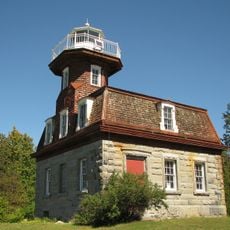
Bluff Point Light
11.2 km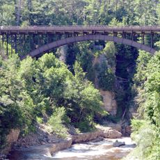
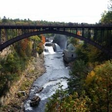
AuSable Chasm Bridge
170 m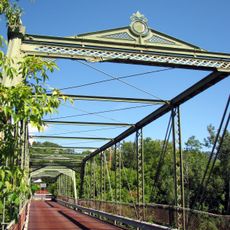
Double-Span Metal Pratt Truss Bridge
3.3 km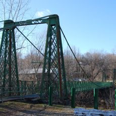
Swing Bridge
2.9 km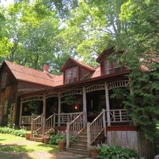
Ligonier Point Historic District
13.9 km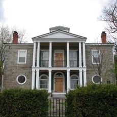
Elkanah Watson House
4.4 km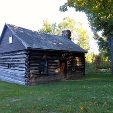
Adsit Log Cabin
13.3 km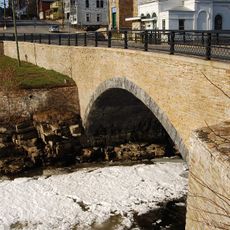
Stone Arch Bridge
2.7 km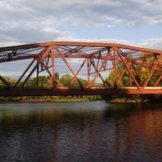
Carpenter's Flats Bridge
3.9 km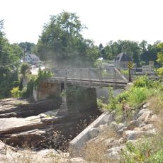
Old State Road Bridge
126 m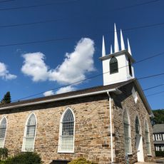
Peru Community Church
8 km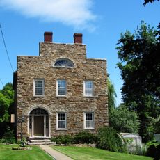
Keeseville Historic District
2.8 km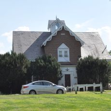
Rembrandt Hall
2.8 km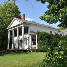
Tomlinson House
2.8 km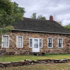
Miller Homestead
7.9 km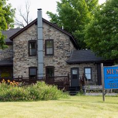
North Star Underground Railroad Museum
113 m
Port Kent Public Beach Park
4.5 km
Elephants Head Overlook
244 m
Horseshoe Falls Overlook
229 m
Rainbow Falls
152 m
Pulpit Rock Overlook
231 m
Whirlpool Basin Overlook
1.1 km
Sentry Box Overlook
973 m
Hemlock Heights Overlook
559 m
Scenic viewpoint
3.5 km
Scenic viewpoint
12.5 km
Scenic viewpoint
12.6 kmReviews
Visited this place? Tap the stars to rate it and share your experience / photos with the community! Try now! You can cancel it anytime.
Discover hidden gems everywhere you go!
From secret cafés to breathtaking viewpoints, skip the crowded tourist spots and find places that match your style. Our app makes it easy with voice search, smart filtering, route optimization, and insider tips from travelers worldwide. Download now for the complete mobile experience.

A unique approach to discovering new places❞
— Le Figaro
All the places worth exploring❞
— France Info
A tailor-made excursion in just a few clicks❞
— 20 Minutes