Lime Valley covered bridge
Location: West Lampeter Township
GPS coordinates: 39.96065,-76.23493
Latest update: October 12, 2024 06:59
Railroad Museum of Pennsylvania
6.8 km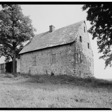
Hans Herr House
3.2 km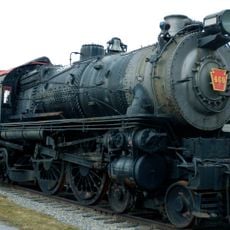
Pennsylvania Railroad 460
6.7 km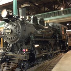
Pennsylvania Railroad 1223
6.7 km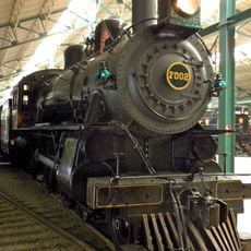
Pennsylvania Railroad 7002
6.7 km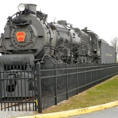
Pennsylvania Railroad 6755
6.7 km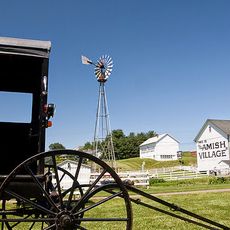
The Amish Village
6.7 km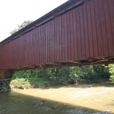
Baumgardener's Covered Bridge
6.1 km
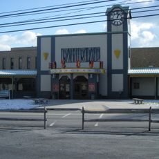
Sight & Sound Millennium Theatre
5.8 km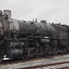
Pennsylvania Railroad 520
6.7 km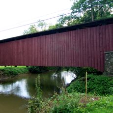
Lime Valley Covered Bridge
8 m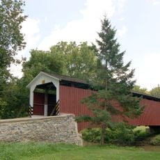
Neff's Mill Covered Bridge
2.2 km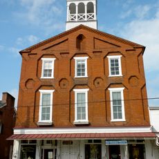
Strasburg Historic District
4.6 km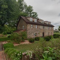
Michael Dohner Farmhouse
7.5 km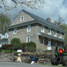
Johannes Harnish Farmstead
6.3 km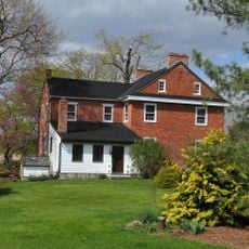
Weber-Weaver Farm
4.8 km
Miller's Farm Covered Bridge
2.2 km
Biblical Tabernacle Experience
7.5 km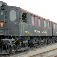
Pennsylvania Railroad 3936 and 3937
6.7 km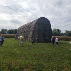
1719 Museum
3.1 km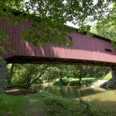
Kurtz's Mill Covered Bridge
7.2 km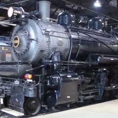
Pennsylvania Railroad 2846
6.8 km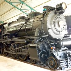
Pennsylvania Railroad 5741
6.8 km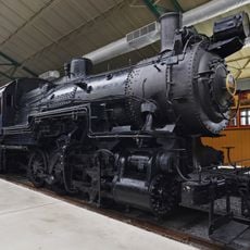
Pennsylvania Railroad 1670
6.7 km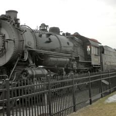
Pennsylvania Railroad 7688
6.7 km
Strasburg Community Park Amphitheatre
4.5 km
Choo Choo Barn
6.4 km
Willow Valley
5.9 kmReviews
Visited this place? Tap the stars to rate it and share your experience / photos with the community! Try now! You can cancel it anytime.
Discover hidden gems everywhere you go!
From secret cafés to breathtaking viewpoints, skip the crowded tourist spots and find places that match your style. Our app makes it easy with voice search, smart filtering, route optimization, and insider tips from travelers worldwide. Download now for the complete mobile experience.

A unique approach to discovering new places❞
— Le Figaro
All the places worth exploring❞
— France Info
A tailor-made excursion in just a few clicks❞
— 20 Minutes