Path to parking place
Location: Town of Brighton
GPS coordinates: 44.44838,-74.25704
Latest update: October 25, 2025 21:17
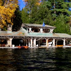
Camp Topridge
4.8 km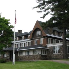
Adirondack Cottage Sanitarium
16 km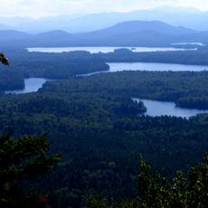
Saint Regis Canoe Area
6.8 km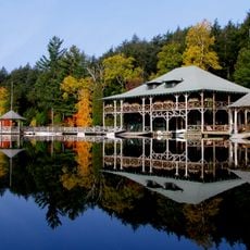
Knollwood Club
15.5 km
Saint Regis Mountain
7.3 km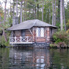
Camp Wild Air
4.7 km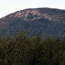
Debar Mountain Wild Forest
15.1 km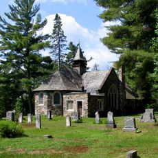
St. John's in the Wilderness Episcopal Church
1.2 km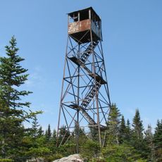
Loon Lake Mountain Fire Observation Station
14.8 km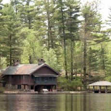
Northbrook Lodge
2.4 km
Camp Intermission
14.1 km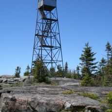
St. Regis Mountain Fire Observation Station
7.3 km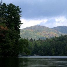
Saint Regis Pond
8.8 km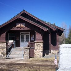
Brighton Town Hall
2.1 km
Denny Cottage
15.9 km
Lady Tree Lodge
12.3 km
Six Nations Iroquois Cultural Center
13.1 km
Hillside Lodge
13.6 km
Path to Disc Golf course
103 m
BarkEater Disc Golf Course
170 m
Scenic viewpoint
1.7 km
Scenic viewpoint
7.3 km
Scenic viewpoint
467 m
Scenic viewpoint
594 m
Scenic viewpoint
358 m
Scenic viewpoint
1.9 km
Scenic viewpoint
1.9 km
Scenic viewpoint
1.5 kmReviews
Visited this place? Tap the stars to rate it and share your experience / photos with the community! Try now! You can cancel it anytime.
Discover hidden gems everywhere you go!
From secret cafés to breathtaking viewpoints, skip the crowded tourist spots and find places that match your style. Our app makes it easy with voice search, smart filtering, route optimization, and insider tips from travelers worldwide. Download now for the complete mobile experience.

A unique approach to discovering new places❞
— Le Figaro
All the places worth exploring❞
— France Info
A tailor-made excursion in just a few clicks❞
— 20 Minutes