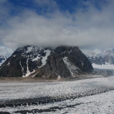
Upper Troublesomel Creek
Location: Matanuska-Susitna
GPS coordinates: 62.63045,-150.22694
Latest update: October 12, 2024 07:12
Ruth Glacier
25.4 km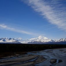
Denali State Park
18 km
Fake Peak
33.7 km
Alaska Veterans Memorial
13.7 km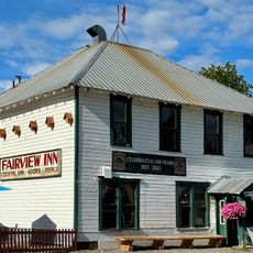
Fairview Inn
34.7 km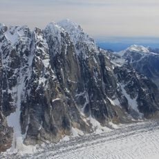
London Tower
38.9 km
Susitna River Bridge
31.2 km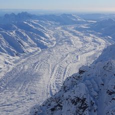
Tokositna Glacier
39.5 km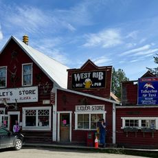
Talkeetna Historic District
34.7 km
Kanikula Glacier
42.4 km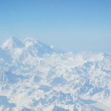
Buckskin Glacier
40.2 km
Talkeetna Airstrip
34.9 km
Curry Lookout
6.8 km
Scenic viewpoint
34.5 km
Denali Zipline Tours
35 km
Scenic viewpoint
26.2 km
Hudson's Plane
8.2 km
Aurora Dora
34.7 km
Dancing Leaf Gallery
34.7 km
Denali view
8.2 km
Scenic viewpoint
34.7 km
Denali View North
36.3 km
Scenic viewpoint
36.8 km
Little Coal Creek Trailhead
38 km
Denali South Viewpoint
4.3 km
Denali View South
4.2 km
Denali View
4 km
Denali view
3.3 kmReviews
Visited this place? Tap the stars to rate it and share your experience / photos with the community! Try now! You can cancel it anytime.
Discover hidden gems everywhere you go!
From secret cafés to breathtaking viewpoints, skip the crowded tourist spots and find places that match your style. Our app makes it easy with voice search, smart filtering, route optimization, and insider tips from travelers worldwide. Download now for the complete mobile experience.

A unique approach to discovering new places❞
— Le Figaro
All the places worth exploring❞
— France Info
A tailor-made excursion in just a few clicks❞
— 20 Minutes