
Barnes Creek Falls
Location: Montgomery County
GPS coordinates: 35.48434,-79.94179
Latest update: October 26, 2025 13:40
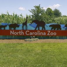
North Carolina Zoo
22.8 km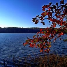
Badin Lake
15.5 km
Pisgah Covered Bridge
7.8 km
Tuckertown Reservoir
21.7 km
Hardaway Site
17.7 km
North Carolina Aviation Museum
19 km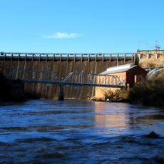
Narrows Dam and Power Plant Complex
15.5 km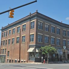
Hotel Troy
14.2 km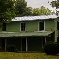
Lewis-Thornburg Farm
14.7 km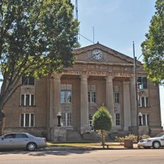
Montgomery County Courthouse
14.7 km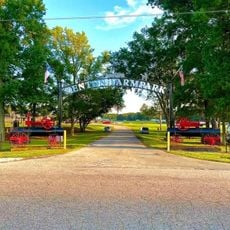
Denton Farmpark
16.2 km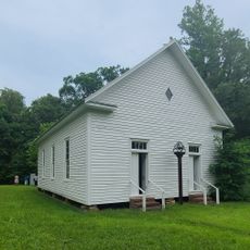
Mount Ebal Methodist Protestant Church
19.5 km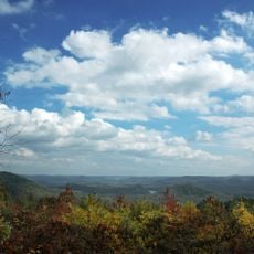
Morrow Mountain State Park
16.3 km
North Carolina Pottery Center
16.3 km
Mountain Creek gold mine
22.7 km
Seals
22.9 km
North America Porcupine
22.9 km
Alligators
22.9 km
Alligators
22.9 km
Work of art, sculpture
18 km
Work of art, sculpture
22.5 km
Scenic viewpoint
22.9 km
Jumping Off Rock
710 m
Scenic Lookout
22.2 km
Scenic viewpoint
22.9 km
Scenic viewpoint
22.9 km
Scenic viewpoint
20 km
Scenic viewpoint
22.6 kmReviews
Visited this place? Tap the stars to rate it and share your experience / photos with the community! Try now! You can cancel it anytime.
Discover hidden gems everywhere you go!
From secret cafés to breathtaking viewpoints, skip the crowded tourist spots and find places that match your style. Our app makes it easy with voice search, smart filtering, route optimization, and insider tips from travelers worldwide. Download now for the complete mobile experience.

A unique approach to discovering new places❞
— Le Figaro
All the places worth exploring❞
— France Info
A tailor-made excursion in just a few clicks❞
— 20 Minutes