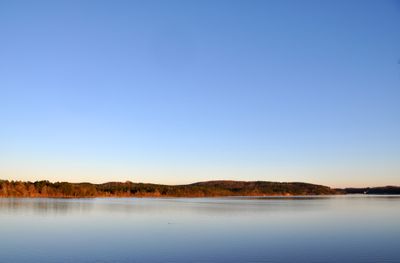
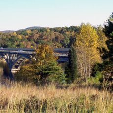
Tuckertown Reservoir, reservoir in North Carolina, United States
Tuckertown Reservoir is a freshwater reservoir on the Yadkin River in North Carolina, formed behind a dam and used primarily for recreational fishing. Beneath the surface, submerged trees, rock ledges, and old structures create a varied underwater landscape that attracts fish year-round.
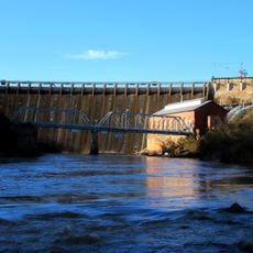
The reservoir was created in the early 20th century when a dam was built on the Yadkin River, initially to generate hydroelectric power. As decades passed, recreational use gradually took over as the main reason people came to the water.
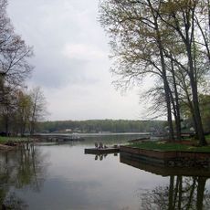
The reservoir draws local anglers who gather at the boat ramps and piers to swap tips on lures and techniques. More experienced fishermen often guide newcomers, giving the place a friendly, community feel that goes beyond just catching fish.
Early morning and late afternoon tend to be the best times to fish, when the water is cooler and activity near the surface picks up. Water levels can vary by season, so checking conditions before you go and using the marked boat ramps will make your visit easier.
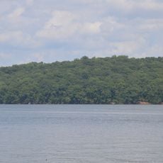
Algae blooms and aquatic weeds have grown so much in recent years that they have effectively changed where fish hide and feed in the water. Some anglers say the thick vegetation now acts as a natural guide, pointing them toward spots that consistently hold the biggest bass.
The community of curious travelers
AroundUs brings together thousands of curated places, local tips, and hidden gems, enriched daily by 60,000 contributors worldwide.