Balanced Rocks
Location: Coconino County
GPS coordinates: 36.84162,-111.63217
Latest update: November 24, 2025 02:12
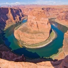
Horseshoe Bend
11.3 km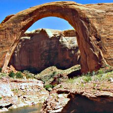
Glen Canyon
4.7 km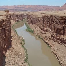
Marble Canyon
4.5 km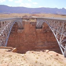
Navajo Bridges
2.7 km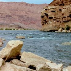
Lee's Ferry
5 km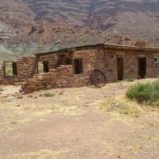
Lee's Ferry and Lonely Dell Ranch
4.2 km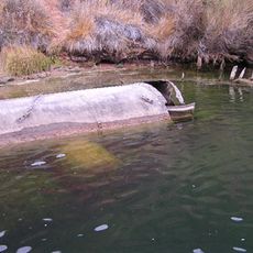
Charles H. Spencer Hulk
5.3 km
South Canyon Trail
9.1 km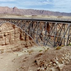
Navajo Bridge
2.7 km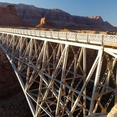
Navajo Bridge
2.7 km
Badger Creek Rapids
7.9 km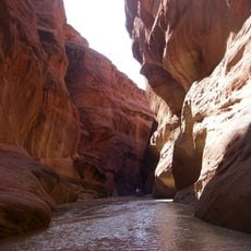
Paria Canyon
4.4 km
Echo Peak
4.1 km
Archer Drive
776 m
Sandbar
9.2 km
Thousand Pockets
9.9 km
Hourglass Double Arch
9.8 km
Big Red Rock
11 km
Waterhole Canyon Experience LLC
11 km
Paria Beach
2.9 km
Water Holes Canyon Arch
11.6 km
Scenic viewpoint
11.3 km
Viewpoint Colorado River
11.5 km
Spencer Trail Lookout
5.9 km
Scenic viewpoint
2.7 km
Scenic viewpoint
2.6 km
Scenic viewpoint
11.6 km
Echo Peaks Fall
5.6 kmReviews
Visited this place? Tap the stars to rate it and share your experience / photos with the community! Try now! You can cancel it anytime.
Discover hidden gems everywhere you go!
From secret cafés to breathtaking viewpoints, skip the crowded tourist spots and find places that match your style. Our app makes it easy with voice search, smart filtering, route optimization, and insider tips from travelers worldwide. Download now for the complete mobile experience.

A unique approach to discovering new places❞
— Le Figaro
All the places worth exploring❞
— France Info
A tailor-made excursion in just a few clicks❞
— 20 Minutes