Enable Location

We need your location to show you interesting places around you

Discover nearby places

Find interesting locations and hidden gems around you

Precise directions

Get accurate directions and distances to places

Your location is never shared with other users. It's only used when you tap the location button.

Horseshoe Bend

Log in to your account

Start exploring — it's free

Trusted by 62,903 travelers worldwide

Continue with Google
Continue with Apple
or

We will send you a code to connect

By continuing, you accept our Terms and Conditions and our Privacy Policy

Check your inbox

We've sent a pincode in your inbox. Please enter the code below.

Horseshoe Bend
Discussion Reviews 11 Photos 1 Collections
165k Popularity

Horseshoe Bend, River meander in Coconino County, United States.

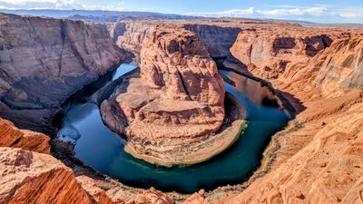
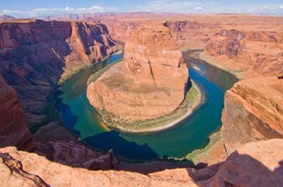
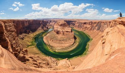
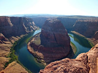
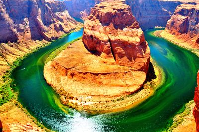
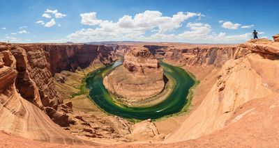
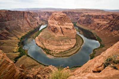
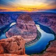
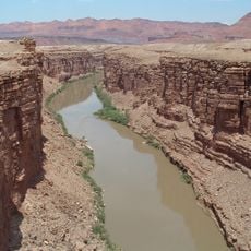
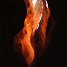
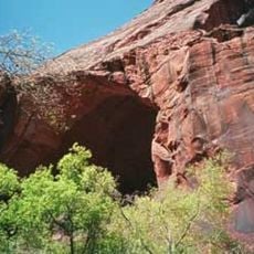
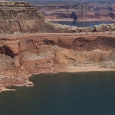
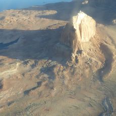
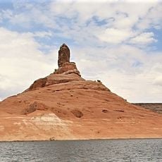
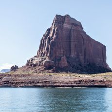
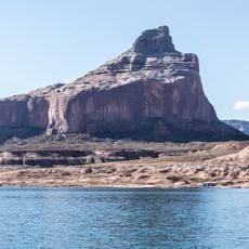
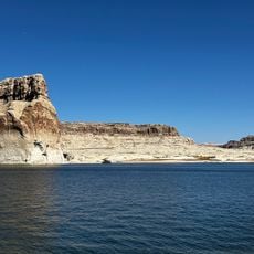
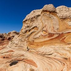
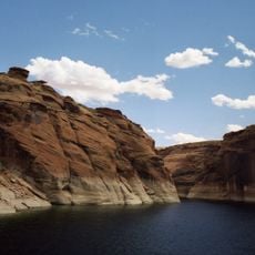
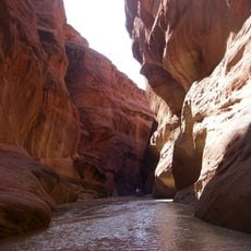
Horseshoe Bend is a sharp river meander in Coconino County, Arizona, where the Colorado cuts a nearly complete loop through massive Navajo Sandstone. The cliffs rise roughly 1,000 feet above the riverbed and form a natural gallery of layered red and orange rock walls.

The river began cutting into the rock roughly six million years ago when tectonic uplift raised the region and forced the water to carve deeper into the layers. The modern profile developed through millennia of continuous erosion that slowly wore away the soft sandstone.

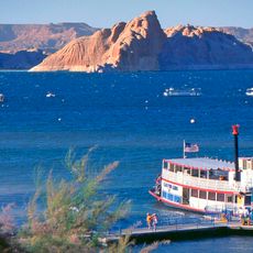
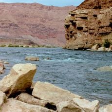
The Navajo Nation borders the southern bank of the river and considers the Colorado a sacred element of their ancestral landscape. Visitors often see rangers and locals sharing stories about the spiritual significance of the water and red rocks for indigenous communities.

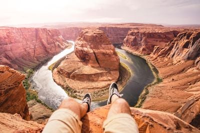
An unpaved trail just over half a mile long leads from the parking lot to the overlook and can be very hot and exposed on sunny days. There are no railings or barriers at the edge, so caution is needed, especially in wind or with children.

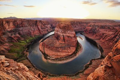
The best light for photography occurs in late morning when the sun shines directly into the gorge and intensifies the colors of the rock walls. Many visitors miss this window because they arrive too early or too late in the day.

The community of curious travelers

AroundUs brings together thousands of curated places, local tips, and hidden gems, enriched daily by 60,000 contributors worldwide.

Start exploring
Location
Elevation above the sea
980 m
GPS coordinates
36.87944,-111.51389
Latest update
December 12, 2025 17:25
The most impressive viewpoints in the world

From the highest peaks to coastal cliffs, this collection brings together geographically significant observation points across all continents. The locations offer views of mountain ranges, waterfalls, deserts, oceans, and notable architectural structures. The selection includes the Great Wall near...

Reviews
Share your experience

No review yet

Discussions
Start a discussion...

No discussion yet

« Horseshoe Bend - River meander in Coconino County, United States » is provided by Around Us (aroundus.com). Images and texts are derived from Wikimedia project under a Creative Commons license. You are allowed to copy, distribute, and modify copies of this page, under the conditions set by the license, as long as this note is clearly visible.

Discover hidden gems everywhere you go!

From secret cafés to breathtaking viewpoints, skip the crowded tourist spots and find places that match your style. Our app makes it easy with voice search, smart filtering, route optimization, and insider tips from travelers worldwide. Download now for the complete mobile experience.

Around Us App Screenshot

A unique approach to discovering new places

Le Figaro

All the places worth exploring

France Info

A tailor-made excursion in just a few clicks

20 Minutes

Around Us
Travel Guide & Maps
Download

Send to your phone

QR Code
1

Open the camera app on your mobile.

2

Point at the QR code with your camera. A notification will appear.

3

Tap the notification to open the link.