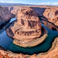
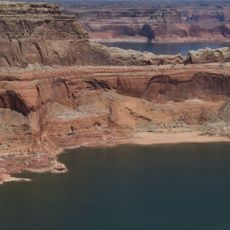
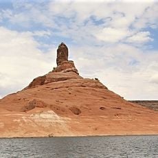
Lake Powell, Reservoir in northern Arizona and southern Utah, US
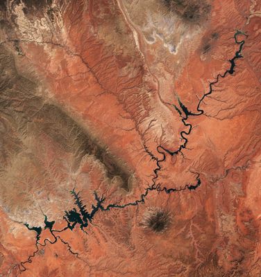
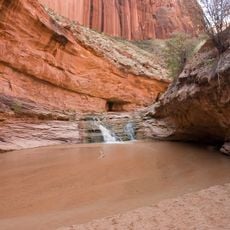
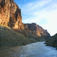
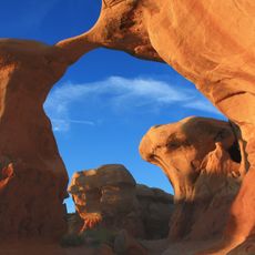
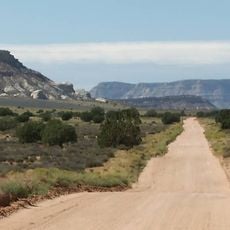
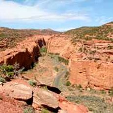
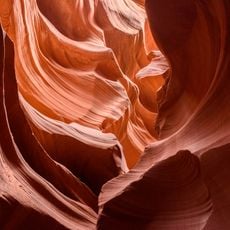
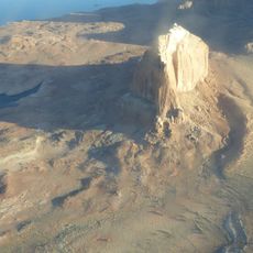
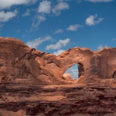
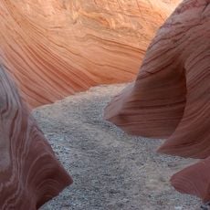
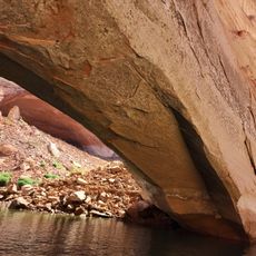
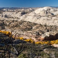
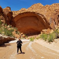
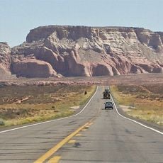
Lake Powell stretches across 300 kilometers of red sandstone country in northern Arizona and southern Utah, forming part of the Glen Canyon National Recreation Area. The water fills hundreds of side canyons and creates a branching network of narrow arms and open bays.
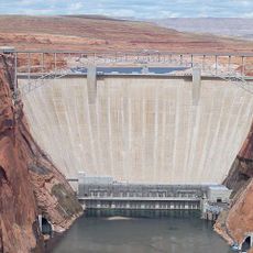
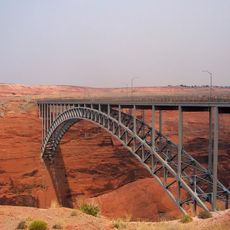
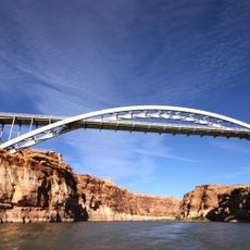
Construction of the Glen Canyon Dam began in 1956, and by 1963 the basin started filling gradually with water from the Colorado River. The dam formed part of a larger plan to distribute water to the southwestern states.
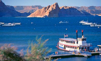
The reservoir honors John Wesley Powell, who led the first documented expedition down the Colorado River through the Grand Canyon in 1869. Boaters and campers regularly use the shoreline coves and inlets, turning the water into a hub for weekend getaways and extended houseboat trips.
Five marinas with boat ramps offer access to the water and rent everything from kayaks to 75-foot (23-meter) houseboats for longer stays on the lake. Summer temperatures often rise above 100 degrees Fahrenheit (38 degrees Celsius), so early morning or late afternoon hours are more comfortable.
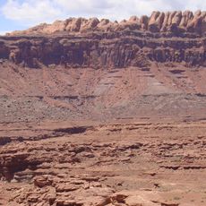
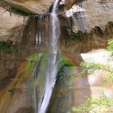
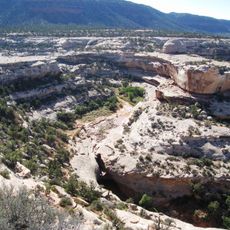
The water surface sits at 3700 feet (1129 meters) above sea level and stores enough volume to maintain a minimum annual flow to the states downstream. When water levels drop, old rock walls and drowned canyons emerge that have been submerged for decades.
The community of curious travelers
AroundUs brings together thousands of curated places, local tips, and hidden gems, enriched daily by 60,000 contributors worldwide.