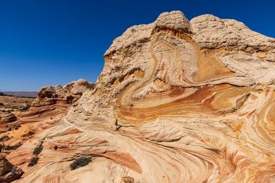
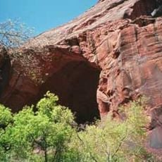
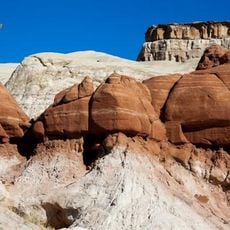
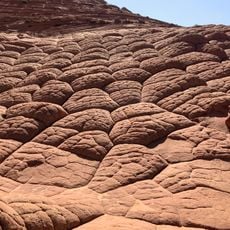
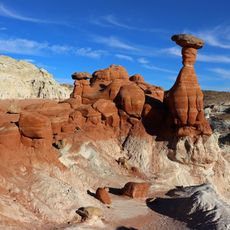
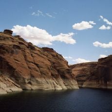
White Pocket, Rock formation in Vermilion Cliffs National Monument, Arizona.
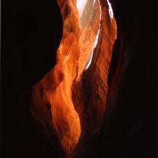
White Pocket is a rock formation in Vermilion Cliffs National Monument in Arizona featuring red, orange, and yellow sandstone layers topped with whitish-grey stone. The site extends across roughly 1 mile and displays intricate patterns of colored bands and weathered surfaces throughout the desert landscape.
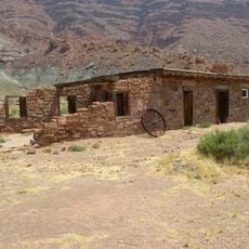
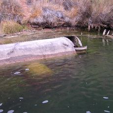
Native peoples used this area for hunting and gathering, leaving behind pottery fragments and carved rock marks over many centuries. In the 1900s, ranch operators moved into the region and adapted the landscape for livestock by building water storage systems.
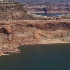
The area shows marks of ranchers who built water collection systems in the 1920s to support livestock in this harsh desert. These modifications reveal how people adapted to live and work in such an isolated landscape.
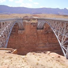
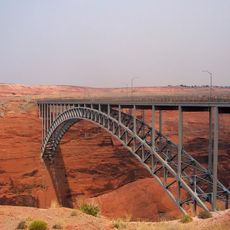
The site is only accessible by high-clearance four-wheel drive vehicle due to deep sand and rocky terrain throughout the approach. Plan for a full day trip as driving time from nearby towns takes several hours on rough roads.
The area contains Moqui marbles, sandstone concretions wrapped in iron oxide that scientists have also discovered on Mars. These unusual formations allow researchers to compare similar geological features between Earth and other planets.
The community of curious travelers
AroundUs brings together thousands of curated places, local tips, and hidden gems, enriched daily by 60,000 contributors worldwide.