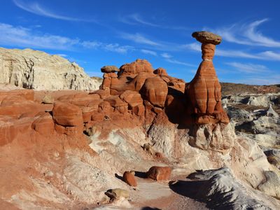
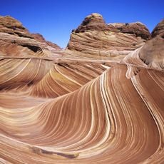
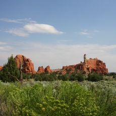
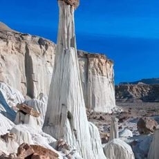
Paria Rimrocks Toadstool Hoodoos, Rock formations in Southern Utah, United States.
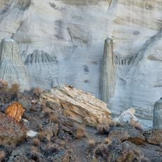
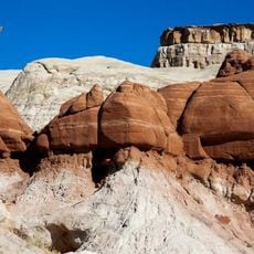
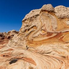
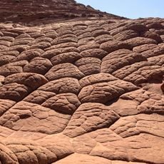
The Paria Rimrocks are sandstone pedestals where heavy boulders rest on top, forming mushroom-shaped formations across the landscape. These toadstools vary in size and height throughout the area, creating a scattered gallery of natural stone sculptures in the open desert.
Millions of years ago, harder rock blocks fell onto softer sandstone layers and sheltered the underlying stone from erosion. Over vast stretches of time, this protective process carved out the distinctive mushroom shapes visible today.
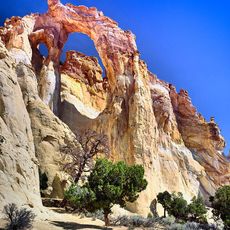
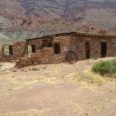
The name comes from Paria, an abandoned settlement nearby that marked this remote desert region. Today, visitors experience these rocks as natural sculptures shaped by time, drawing people to photograph and explore the distinctive sandstone formations.
The trailhead is easy to reach from a parking area along Highway 89 in a location easy to spot between established mile markers. The walk is short and stays on level ground through open terrain without steep climbs or technical obstacles.
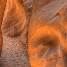
The rock coloring reveals clear layers where darker harder stone tops sit on lighter thinner pedestals of softer material. This color contrast makes each formation a visual lesson in geology that can be understood just by looking.
The community of curious travelers
AroundUs brings together thousands of curated places, local tips, and hidden gems, enriched daily by 60,000 contributors worldwide.