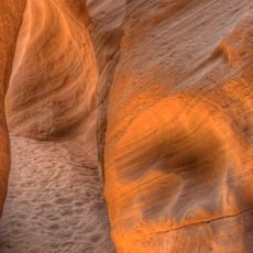
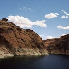
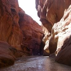
Buckskin Gulch, Sandstone slot canyon in Kane County, Utah
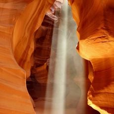
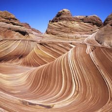
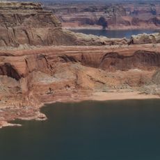
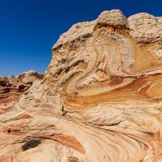
Buckskin Gulch is a sandstone slot canyon in Kane County, Utah, with walls rising to 500 feet (150 m) high and extending roughly 16 miles (26 km) along its course. In some sections, the canyon narrows to just 5 feet (1.5 m) wide, creating an intense walking experience.
The area bears traces of Native American presence, with petroglyphs left at several spots along the canyon walls. These markings suggest that this region has been part of human movement across the Colorado Plateau for centuries.
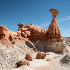
The name Buckskin comes from the yellowish-tan color of the Navajo sandstone walls, which resemble tanned deerskin. The canyon is also known as Kaibab Gulch, and its tributary Wire Pass is the most common entry point. Visitors can spot petroglyphs left by Native Americans at several spots along the walls.
Day hiking requires self-registration at the trailhead, while overnight trips need a BLM permit limited to twenty people per day, with groups capped at ten. The canyon floor stays markedly cooler than the surrounding plateau and can hold thigh-deep pools and quicksand. Flash floods following rain anywhere in the watershed can send waves up to 30 metres high through the narrows.
Buckskin Gulch also appears on maps as Buckskin Creek, Buckskin Wash or Kaibab Gulch, and its Kaibab Gulch branch is officially counted as part of the canyon. The Cockscomb, a monocline fault the gulch cuts through east of House Rock Valley Road, is crossed in a first slot section by the Wire Pass tributary.
The community of curious travelers
AroundUs brings together thousands of curated places, local tips, and hidden gems, enriched daily by 93,194 contributors worldwide.