
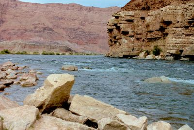
Lee's Ferry, ghost town in Coconino County, Arizona, United States
Location: Coconino County
Elevation above the sea: 960 m
GPS coordinates: 36.86684,-111.58512
Latest update: May 12, 2025 19:30
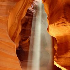
Antelope Canyon
19 km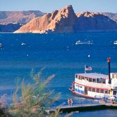
Lake Powell
11.8 km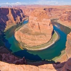
Horseshoe Bend
6.5 km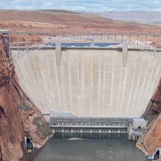
Glen Canyon Dam
11.9 km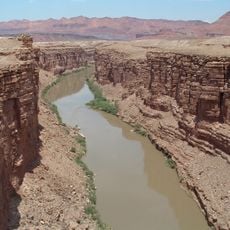
Marble Canyon
574 m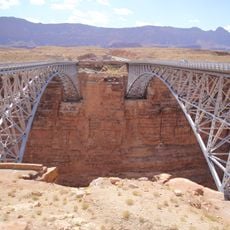
Navajo Bridges
6.9 km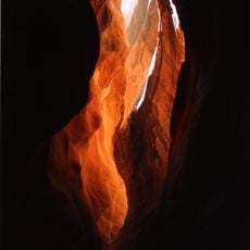
Buckskin Gulch
29.2 km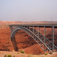
Glen Canyon Dam Bridge
11.9 km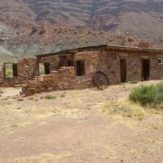
Lee's Ferry and Lonely Dell Ranch
864 m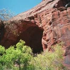
Wrather Arch
20.4 km
Canyon X
23 km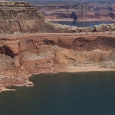
Gunsight Butte
31 km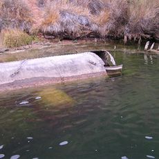
Charles H. Spencer Hulk
436 m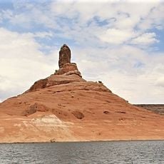
Cookie Jar Butte
35.3 km
LeChee Rock
24.5 km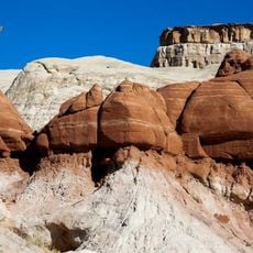
Toadstool Hoodoos
37 km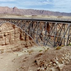
Navajo Bridge
6.9 km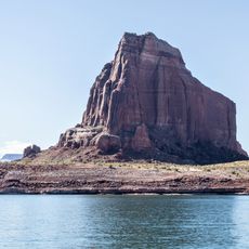
Dominguez Butte
32.8 km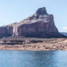
Boundary Butte
30.5 km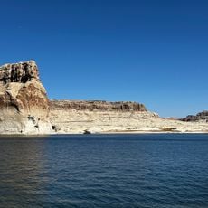
Lone Rock Beach
17.1 km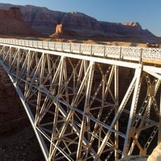
Navajo Bridge
6.8 km
Rimview Trail
12.8 km
Antelope Canyon X
23.3 km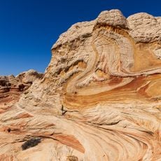
White Pocket
30.1 km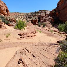
Lake Powell Navajo Tribal Park
28.3 km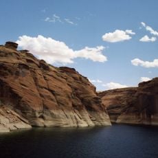
Navajo Canyon
21.7 km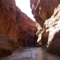
Paria Canyon
677 m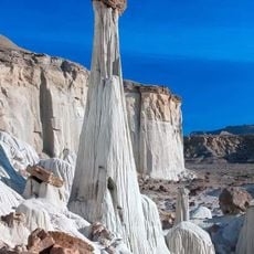
Wahweap Hoodoos trail
32.6 kmReviews
Visited this place? Tap the stars to rate it and share your experience / photos with the community! Try now! You can cancel it anytime.
Discover hidden gems everywhere you go!
From secret cafés to breathtaking viewpoints, skip the crowded tourist spots and find places that match your style. Our app makes it easy with voice search, smart filtering, route optimization, and insider tips from travelers worldwide. Download now for the complete mobile experience.

A unique approach to discovering new places❞
— Le Figaro
All the places worth exploring❞
— France Info
A tailor-made excursion in just a few clicks❞
— 20 Minutes