Trail Arch
Location: San Juan County
GPS coordinates: 38.11420,-109.75480
Latest update: October 12, 2024 08:10
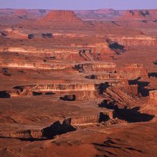
Canyonlands National Park
5.9 km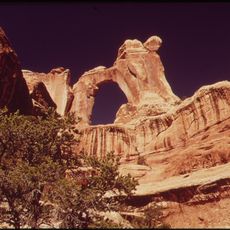
Angel Arch
6.9 km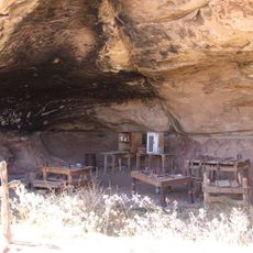
Cave Springs Cowboy Camp
4.8 km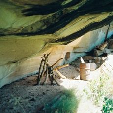
Lost Canyon Cowboy Camp
2.6 km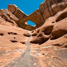
Paul Bunyans Potty
1.7 km
Roadside Ruin
5.5 km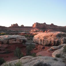
Wooden Shoe Arch
3.5 km
Cave Spring Trail
4.6 km
Roadside Ruin Trail
5.5 km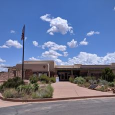
The Needles Visitor Center
6 km
Wooden Shoe Arch Overlook
4.7 km
Cave Spring Pictographs
4.7 km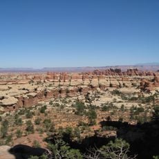
The Needles
6.1 km
Salt Flat Butte
5 km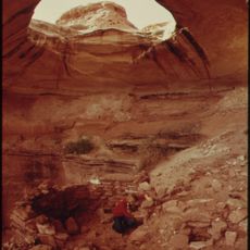
Keyhole Ruins
2.2 km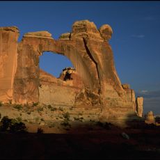
Angel Arch
7 km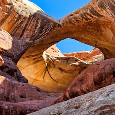
Paul Bunyans Potty Arch
1.6 km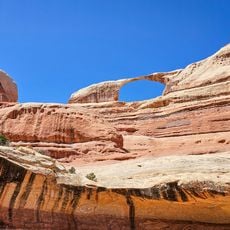
Castle Arch
5.6 km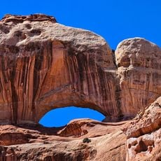
Fortress Arch
6.7 km
Anchor Arch 1
1.8 km
Wooden Shoe Arch
3.4 km
Anchor Arch 2
2.1 km
Skull Arch
1.5 km
Tower Ruin
2.7 km
Abbey's Tripple Arch
6.6 km
Arch
6.7 km
Scenic viewpoint
493 m
The Molar
6.9 kmReviews
Visited this place? Tap the stars to rate it and share your experience / photos with the community! Try now! You can cancel it anytime.
Discover hidden gems everywhere you go!
From secret cafés to breathtaking viewpoints, skip the crowded tourist spots and find places that match your style. Our app makes it easy with voice search, smart filtering, route optimization, and insider tips from travelers worldwide. Download now for the complete mobile experience.

A unique approach to discovering new places❞
— Le Figaro
All the places worth exploring❞
— France Info
A tailor-made excursion in just a few clicks❞
— 20 Minutes