Black Rock
Location: Maricopa County
GPS coordinates: 33.58658,-111.30352
Latest update: October 28, 2025 04:11
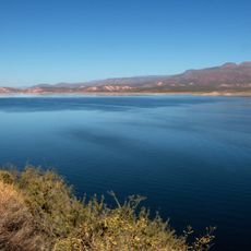
Theodore Roosevelt Lake
17.1 km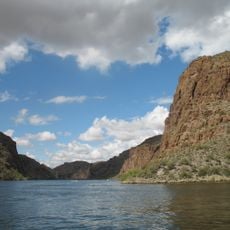
Canyon Lake
13.3 km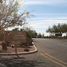
Lost Dutchman State Park
21.7 km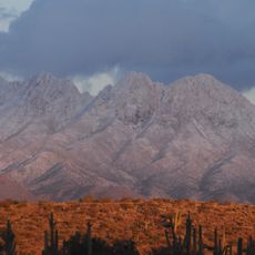
Four Peaks
11.1 km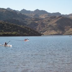
Saguaro Lake
20.7 km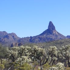
Weaver's Needle
18.2 km
Skeleton Cave
6.1 km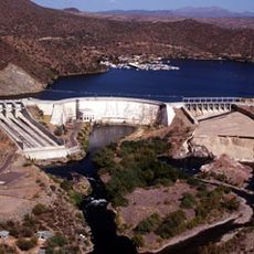
Stewart Mountain Dam
21.7 km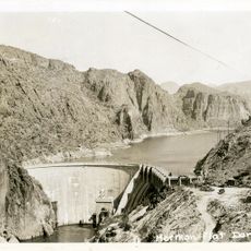
Mormon Flat Dam
13.3 km
Roosevelt Lake Bridge
16.7 km
Tonto National Monument Visitor Center
18.8 km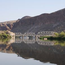
Boulder Creek Bridge
12.6 km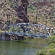
Mormon Flat Bridge
14 km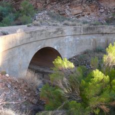
Alchesay Canyon Bridge
16.2 km
Scenic viewpoint
15.9 km
Scenic viewpoint
16.4 km
Scenic viewpoint
17.9 km
Scenic viewpoint
19.3 km
Scenic viewpoint
18.9 km
Scenic viewpoint
18.8 km
Scenic viewpoint
20.9 km
Scenic viewpoint
6.4 km
Scenic viewpoint
14.4 km
Three Sisters
21.7 km
Scenic viewpoint
16.2 km
Scenic viewpoint
16.2 km
Scenic viewpoint
12.4 km
Scenic viewpoint
13.4 kmReviews
Visited this place? Tap the stars to rate it and share your experience / photos with the community! Try now! You can cancel it anytime.
Discover hidden gems everywhere you go!
From secret cafés to breathtaking viewpoints, skip the crowded tourist spots and find places that match your style. Our app makes it easy with voice search, smart filtering, route optimization, and insider tips from travelers worldwide. Download now for the complete mobile experience.

A unique approach to discovering new places❞
— Le Figaro
All the places worth exploring❞
— France Info
A tailor-made excursion in just a few clicks❞
— 20 Minutes