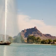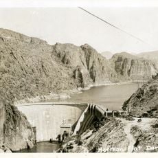
Chest opened
+${chestReward.xp} XP
Explorer
NOUVEAU ×${chestReward.collectible.quantity}
tapez pour fermer

See the monuments around you in AR Open chests in the app

Around Us is built for your phone — point your camera at the streets and discover the monuments and places around you in augmented reality. Around Us is built for your phone — chests unlock when you walk, explore and capture nearby places.

Enable Location

We need your location to show you interesting places around you

Discover nearby places

Find interesting locations and hidden gems around you

Precise directions

Get accurate directions and distances to places

Your location is never shared with other users. It's only used when you tap the location button.

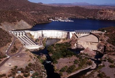
Stewart Mountain Dam

Log in to your account

Start exploring — it's free

Trusted by 81,418 travelers worldwide

Continue with Google
Continue with Apple
or

We will send you a code to connect

By continuing, you accept our Terms and Conditions and our Privacy Policy

Check your inbox

We've sent a pincode in your inbox. Please enter the code below.

Stewart Mountain Dam
Discussion Reviews 1 Photos
3.4k Popularity

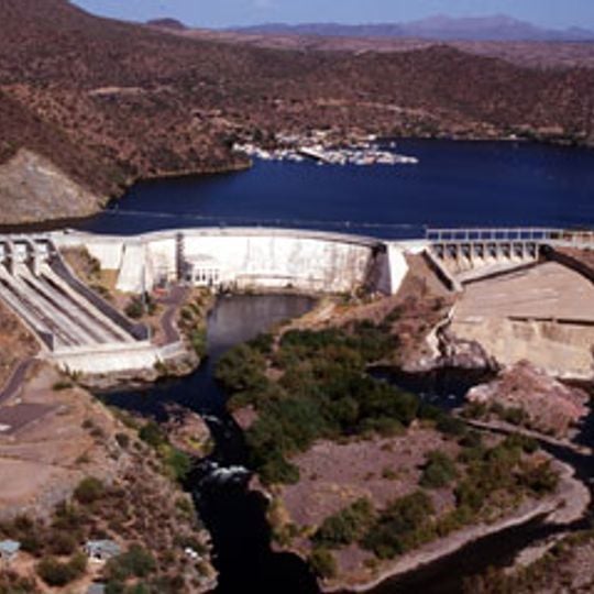
Stewart Mountain Dam, Hydroelectric dam in Maricopa County, United States.

Stewart Mountain Dam is a concrete arch dam that spans across the Salt River, creating Saguaro Lake to the northeast of Phoenix. The structure harnesses water flow to generate electricity for the surrounding region.

The project was built between 1928 and 1930 as part of the Salt River Valley Users' Association power system. It represented a significant step in developing water resources for the growing Phoenix region.

The National Register of Historic Places added the dam in 2017, recognizing its engineering excellence and contribution to regional development.

The visitor area near the lake offers information about the power generation facility and regional history. The best time to visit is in early morning or late afternoon when temperatures are more comfortable.

Construction workers lived in a temporary camp that was later transformed into a guest ranch after the dam was completed. This repurposing shows how project infrastructure shifted to serve recreational use.

The community of curious travelers

AroundUs brings together thousands of curated places, local tips, and hidden gems, enriched daily by 60,000 contributors worldwide.

Start exploring
Location
Elevation above the sea
466 m
GPS coordinates
33.56670,-111.53600
Latest update
December 12, 2025 08:01
Around this place
Taliesin West
United States of America

Taliesin West

29 km
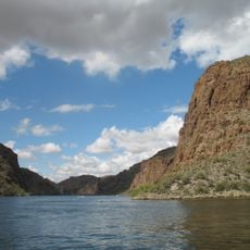
Canyon Lake
United States of America

Canyon Lake

9.5 km
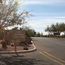
Lost Dutchman State Park
United States of America

Lost Dutchman State Park

13.5 km
Four Peaks
United States of America

Four Peaks

23.5 km
HoHoKam Stadium
United States of America

HoHoKam Stadium

30.8 km
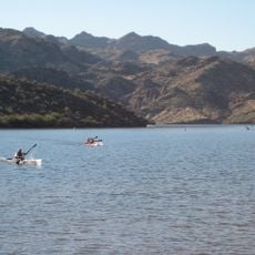
Saguaro Lake
United States of America

Saguaro Lake

4.2 km
Weaver's Needle
United States of America

Weaver's Needle

21.3 km
Skeleton Cave
United States of America

Skeleton Cave

15.6 km
Mount McDowell
United States of America

Mount McDowell

14.9 km
Arizona Commemorative Air Force Museum
United States of America

Arizona Commemorative Air Force Museum

22.4 km
Mormon Flat Dam
United States of America

Mormon Flat Dam

8.8 km
Thompson Peak
United States of America

Thompson Peak

27 km
Gateway Trailhead - McDowell Sonoran Preserve

Gateway Trailhead - McDowell Sonoran Preserve

31.3 km
Mesa Historical Museum
United States of America

Mesa Historical Museum

28.4 km
United States of America

Peralta Canyon

26.4 km
United States of America

Buckhorn Hot Mineral Wells

22.7 km
Gold Canyon Golf Resort
United States of America

Gold Canyon Golf Resort

23.3 km
Fountain Hills Observatory
United States of America

Fountain Hills Observatory

20.4 km
Las Sendas Golf Club
United States of America

Las Sendas Golf Club

15.5 km
Wilbur Street Historic District
United States of America

Wilbur Street Historic District

31.5 km
Desert Sands Golf Course
United States of America

Desert Sands Golf Course

24.1 km
Verde River Golf and Social Club
United States of America

Verde River Golf and Social Club

25.3 km
Sunland Springs Golf
United States of America

Sunland Springs Golf

22.5 km
Desert Canyon Golf Course
United States of America

Desert Canyon Golf Course

16.6 km
Falcon Field Airport
United States of America

Falcon Field Airport

21.5 km
Boulder Creek Bridge
United States of America

Boulder Creek Bridge

11 km
Mormon Flat Bridge
United States of America

Mormon Flat Bridge

9.1 km
Temple Historic District
United States of America

Temple Historic District

31.6 km
Show the full map
Reviews
Share your experience

No review yet

Discussions
Start a discussion...

No discussion yet

« Stewart Mountain Dam - Hydroelectric dam in Maricopa County, United States » is provided by Around Us (aroundus.com). Images and texts are derived from Wikimedia project under a Creative Commons license. You are allowed to copy, distribute, and modify copies of this page, under the conditions set by the license, as long as this note is clearly visible.

Discover hidden gems everywhere you go!

From secret cafés to breathtaking viewpoints, skip the crowded tourist spots and find places that match your style. Our app makes it easy with voice search, smart filtering, route optimization, and insider tips from travelers worldwide. Download now for the complete mobile experience.

Around Us App Screenshot

A unique approach to discovering new places

Le Figaro

All the places worth exploring

France Info

A tailor-made excursion in just a few clicks

20 Minutes

Around Us
Travel Guide & Maps
Download

Send to your phone

QR Code
1

Open the camera app on your mobile.

2

Point at the QR code with your camera. A notification will appear.

3

Tap the notification to open the link.