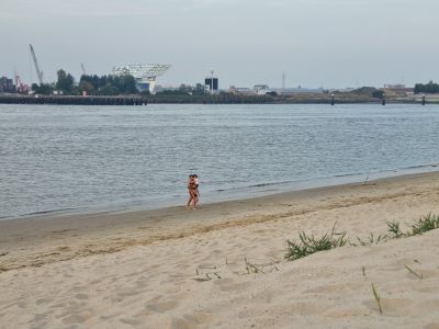
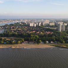
Sint-Annastrand, Urban beach in Antwerpen, Belgium
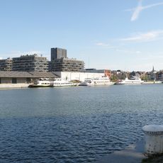
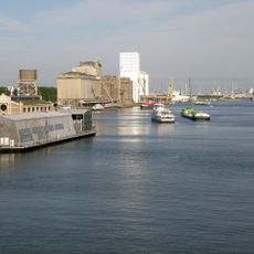
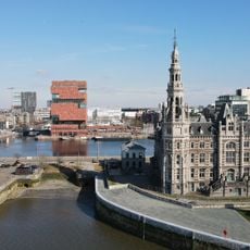
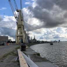
Sint-Annastrand is an urban beach along the Scheldt River in Antwerp featuring white sand and views of the port area. It offers restaurants, an open-air swimming pool, mini-golf, camping, a marina, and various outdoor recreation zones.
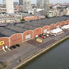
The beach took shape in the 19th century when shipping shifted from sail to steam power, leading the city to create recreational spaces for residents. This transformation of the harbor area made room for leisure alongside industrial activity.
The beach is known for its restaurants serving local specialties like mussels, a culinary tradition that has drawn people here for generations. This food culture remains central to how visitors experience the place.
The beach is well-organized with distinct areas for different activities, making it easy to find what suits you. Amenities like restaurants and changing facilities are conveniently positioned throughout the site.
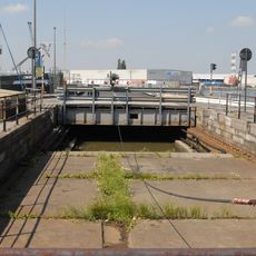
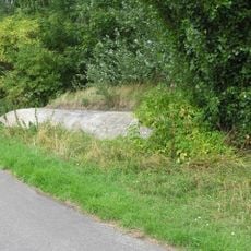
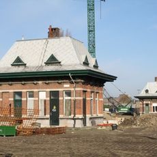
Beneath the grass-covered areas of the beach lie remains of the former village of Sint Anna, which merged with Antwerp in 1923. This hidden history reveals how the region transformed completely over time.
Location: Antwerpen
Address: Sint Annastrand, 2050 Antwerpen, Belgium
GPS coordinates: 51.23518,4.39229
Latest update: December 6, 2025 19:01
Antwerp is a city where history comes alive through its museums, historic buildings, and cultural institutions. Visitors can explore the MAS Museum to learn about the city's architecture and urban development, or stand in awe of the Cathedral of Our Lady, which towers over the old city center. The...
Museum aan de Stroom
1.1 km
Waaslandtunnel
950 m
Red Star Line Museum
792 m
Loodswezen
1 km
Noordkasteel
795 m
Kattendijkdok
1 km
Royers Lock
872 m
Nationaal Scheepvaartmuseum
1.1 km
Sint-Annastrand
116 m
Amerikadok
1.1 km
Bonapartesluis
981 m
Molen van Sint-Anneke
152 m
Nassaubrug
1.1 km
Royersbrug
907 m
Lefèbvrebrug
1.1 km
Saluting Admiral Couple
1.1 km
Hangar 29 met meerpalen van de Red Star Line
708 m
Sluismeesterswoning bij de Royerssluis
872 m
Sluiswachtershuis bij Royerssluis
923 m
Sint-Jan-de-Doperkerk
1.1 km
Kolenbergplaats bij Royerssluis
1.1 km
West-Hinder III
1.1 km
Bureel
641 m
German bunker on Sloepenweg
649 m
Oude havenkranen
756 m
Pompgebouw
781 m
Dienstgebouwtjes bij Royerssluis
966 m
Schleusenwärterhaus der Kattendijkschleuse
786 mVisited this place? Tap the stars to rate it and share your experience / photos with the community! Try now! You can cancel it anytime.
Discover hidden gems everywhere you go!
From secret cafés to breathtaking viewpoints, skip the crowded tourist spots and find places that match your style. Our app makes it easy with voice search, smart filtering, route optimization, and insider tips from travelers worldwide. Download now for the complete mobile experience.
A unique approach to discovering new places❞
— Le Figaro
All the places worth exploring❞
— France Info
A tailor-made excursion in just a few clicks❞
— 20 Minutes