McCormack Campground
Location: Malheur County
GPS coordinates: 43.61592,-117.25360
Latest update: November 24, 2025 04:40
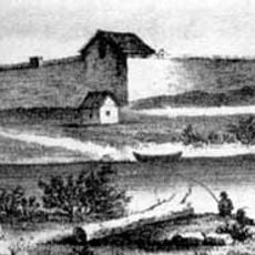
Fort Boise
29.8 km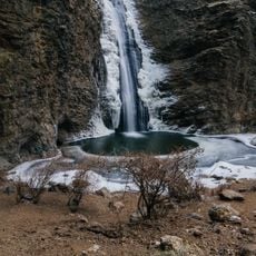
Jump Creek Falls
30.7 km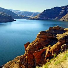
Owyhee Reservoir
18.5 km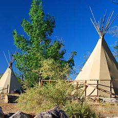
Lake Owyhee State Park
1.4 km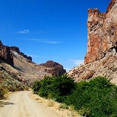
Succor Creek State Natural Area
19.2 km
The Honeycombs
18.3 km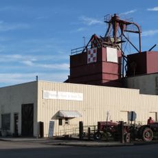
Al Thompson and Son's Feed and Seed Company
35.6 km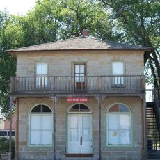
Rinehart Stone House Museum
40.6 km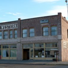
Hotel Western
35.7 km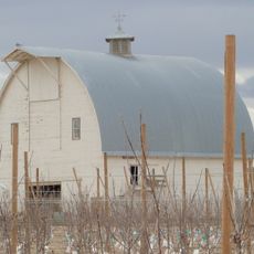
George Obendorf Gothic Arch Truss Barn
29.1 km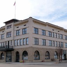
Vale Hotel and Grand Opera House
40.8 km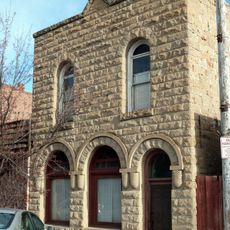
First Bank of Vale
40.7 km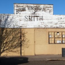
Vinsonhaler Blacksmith Shop
35.7 km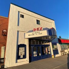
Rex Theater
40.8 km
Gravelly Point
23.9 km
Arcadia Lake
40.2 km
Antelope Flat Reservoir Number Two
39.3 km
Graveyard Rim
19.9 km
The Big Slide
17.3 km
The Tongue
2.3 km
Long Water Holes
38.5 km
Badger Reservoir
32.7 km
River Bend Golf Course
24.2 km
Timberstone Golf Course
33.2 km
Snively Hot Springs
13.4 km
Scenic viewpoint
39 km
Scenic viewpoint
33.6 km
Scenic viewpoint
22.2 kmReviews
Visited this place? Tap the stars to rate it and share your experience / photos with the community! Try now! You can cancel it anytime.
Discover hidden gems everywhere you go!
From secret cafés to breathtaking viewpoints, skip the crowded tourist spots and find places that match your style. Our app makes it easy with voice search, smart filtering, route optimization, and insider tips from travelers worldwide. Download now for the complete mobile experience.

A unique approach to discovering new places❞
— Le Figaro
All the places worth exploring❞
— France Info
A tailor-made excursion in just a few clicks❞
— 20 Minutes