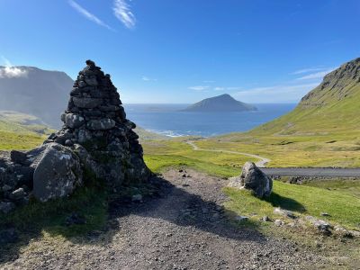
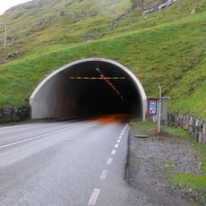
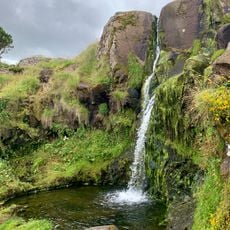
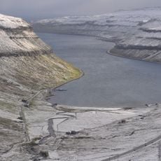
Norðradalsskarð, Mountain pass in Streymoy, Faroe Islands.
Norðradalsskarð is a mountain pass on Streymoy that rises 270 meters above sea level and offers direct views of Norðradalur valley. A 2.4-kilometer road crosses through it, connecting two isolated community areas on the island.
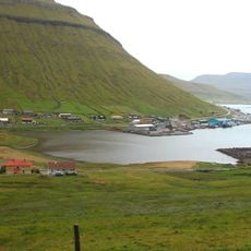
The pass formed naturally through geological processes and later became a transportation route between settlements on Streymoy. The road enabled trade and exchange between otherwise isolated communities.
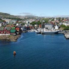
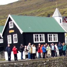
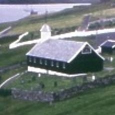
The pass connects communities on Streymoy and shows how geography shapes daily life for people in the Faroe Islands. Locals use this route to travel between settlements separated by mountains.
Driving through the pass requires extra caution, especially during winter months when wind speeds can exceed 120 kilometers per hour. Drivers should be prepared for rapidly changing weather conditions and exposed road surfaces.
A live camera system monitors road conditions at the pass and transmits real-time information to help drivers make travel decisions. This system allows visitors to check driving conditions before attempting the journey.
The community of curious travelers
AroundUs brings together thousands of curated places, local tips, and hidden gems, enriched daily by 60,000 contributors worldwide.