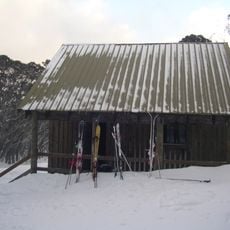
Upper Howqua Camping Area
Location: Mount Buller
Location: Shire of Mansfield
Operator: Parks Victoria
GPS coordinates: -37.17363,146.56273
Latest update: November 22, 2025 16:44
Mount Stirling
7.8 km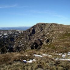
Mount Howitt
7.5 km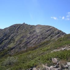
Mount Buller
12.6 km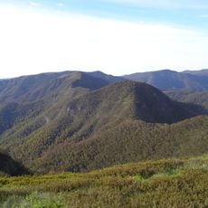
Mount Buggery
7.8 km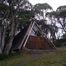
Vallejo Gantner Hut
9.5 km
Mount Despair
12 km
National Alpine Museum of Australia
10.6 km
Mount Speculation
9 km
Square Top
12.5 km
View Point
10.8 km
Sleepy Hollow
9.7 km
Scenic viewpoint
3 km
Work of art, sculpture
10.5 km
Installation artwork, Work of art
11.4 km
Buller Huts Trail
12.2 km
Scenic viewpoint
12.6 km
Bindaree Falls
2.8 km
Scenic viewpoint
10.6 km
Helicopter Spur
3 km
Statue, Work of art
10.5 km
Scenic viewpoint
7.5 km
Scenic viewpoint
8.1 km
Scenic viewpoint
7.5 km
Scenic viewpoint
7.8 km
Scenic viewpoint
12.6 km
Keep Dry Hut Ruin
7.7 km
Blind Creek Falls
10.9 km
Bindaree Falls
2.8 kmReviews
Visited this place? Tap the stars to rate it and share your experience / photos with the community! Try now! You can cancel it anytime.
Discover hidden gems everywhere you go!
From secret cafés to breathtaking viewpoints, skip the crowded tourist spots and find places that match your style. Our app makes it easy with voice search, smart filtering, route optimization, and insider tips from travelers worldwide. Download now for the complete mobile experience.

A unique approach to discovering new places❞
— Le Figaro
All the places worth exploring❞
— France Info
A tailor-made excursion in just a few clicks❞
— 20 Minutes