Mount Howitt, Summit in Alpine National Park, Victoria, Australia
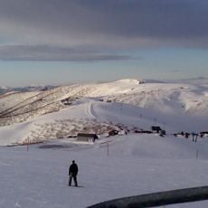
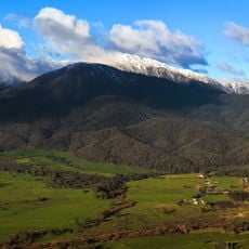
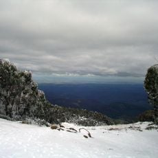
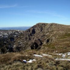
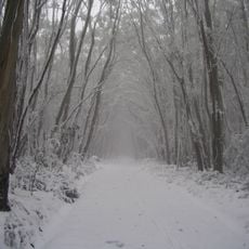
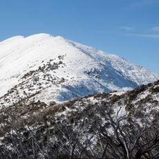
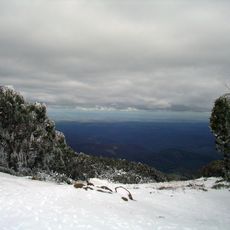
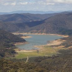
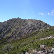
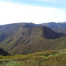
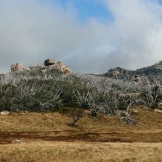
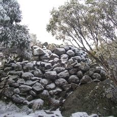
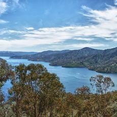
Mount Howitt is a summit in the Wonangatta Moroka Unit of Alpine National Park, Victoria, about 170 km north-east of Melbourne. It rises to 1,742 metres, and the summit itself lies above the treeline, with mountain gum and snow gum forests on sheltered slopes between 1,000 and 1,400 metres below.
Gunai people used the King and Howqua areas, including Mount Howitt, as major trade routes across the Great Dividing Range, and quarried hard greenstone for tools and weapons. European settlement began in the 1840s with grazing, followed by gold discovery in the Howqua Valley in the 1860s. The mountain is named after explorer and naturalist Alfred William Howitt.
The mountain carries the name Toot-buck-nulluck in the Gunai language, pointing to a long connection between this land and its original people. Walkers on the summit today are following paths that have been known and traveled for generations.
The trail to the top starts from a car park near MacAlister Springs and passes across Howitt Plains before reaching the summit. Alpine weather can change without much warning, so bringing waterproof layers and enough water is a good idea regardless of conditions at the start.
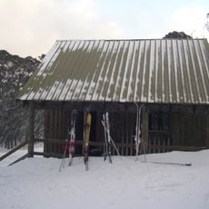
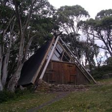
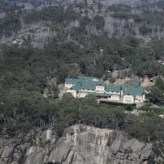
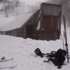
The nearest shelter to the summit is the Vallejo Gantner Hut at MacAlister Springs, about seven kilometres from the closest road access. A spring-water pipe there flows all year, even in drought, and a long-drop toilet built in the summer of 2013-2014 has its waste helicoptered out when the tank fills.
The community of curious travelers
AroundUs brings together thousands of curated places, local tips, and hidden gems, enriched daily by 94,514 contributors worldwide.