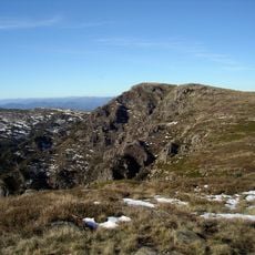
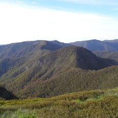
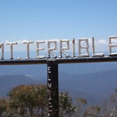
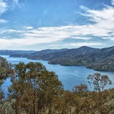
Mount Buller, Mountain summit in Victorian Alps, Australia
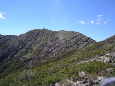
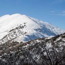
Mount Buller is a summit in the Victorian Alps, sitting within the Great Dividing Range at 1,805 meters (5,922 feet) above sea level. A stone distance dial at the top marks directions to surrounding landmarks and nearby peaks.
Explorer Thomas Livingstone Mitchell named the mountain in 1836 after Charles Buller from the Colonial Office during a surveying expedition. Before that, the local Taungurong people knew it as Warrinebut.
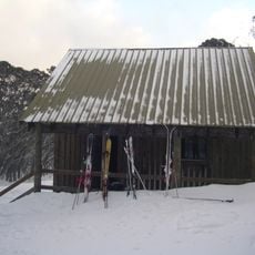
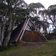
The Klingsporn walking track follows an old bridle trail that stockmen used during summer to reach the upper sections of the mountain. Today it is a marked walking route that hikers use to reach the summit plateau on foot.
The summit can be reached from the village by a short walk, or by the more demanding Klingsporn track starting from Merimbah. Weather at this elevation can change fast, so bringing extra layers is a good idea regardless of the season.
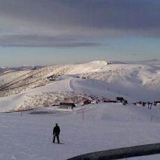
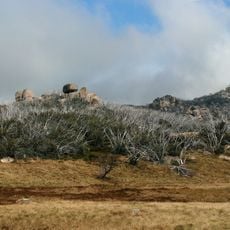
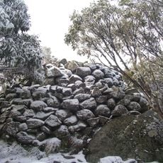
Mount Buller records more snow days per year than anywhere else on the Australian mainland, making it a rare place where snow can settle for weeks at a time. This is especially notable given how warm most of the country stays through winter.
The community of curious travelers
AroundUs brings together thousands of curated places, local tips, and hidden gems, enriched daily by 60,000 contributors worldwide.