
Jan Baptist David
Location: Lier
Website: http://commons.wikimedia.org/wiki/File:Kanunnik_David.JPG
Website: http://commons.wikimedia.org/wiki/File:Kanunnik_David.JPG
GPS coordinates: 51.13451,4.56420
Latest update: November 13, 2025 11:34
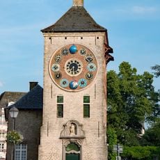
Zimmertoren
709 m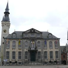
Lier town hall
562 m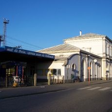
Lier railway station
394 m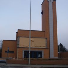
Heilig Hartkerk
500 m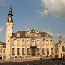
Grote Markt
526 m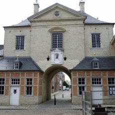
Gevangenenpoort
625 m
Hotel Aragon
671 m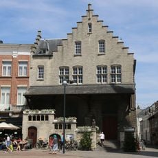
Vleeshuis
625 m
Lyrastadion
524 m
Dungelhoeffkazerne
330 m
Stedelijk Museum Wuyts-Van Campen en baron Caroly
424 m
Sint-Jacobskapel
596 m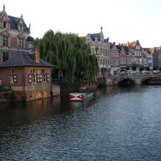
Buyldragershuisje
703 m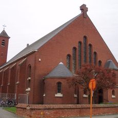
Heilig Kruiskerk
369 m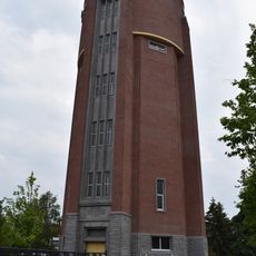
Watertoren Eeuwfeestlaan
504 m
Refugiehuis van de abdij van Nazareth
553 m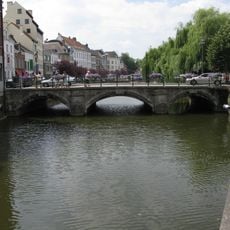
Hoogbrug
688 m
Kapel van het Vredebergklooster
639 m
Antwerpsepoort bridge
87 m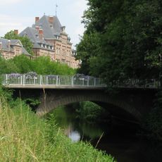
Mechelsepoort bridge
456 m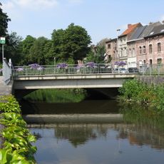
Lisperpoortbrug
668 m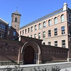
Kapucijnenklooster
401 m
Stadsschouwburg
639 m
Galerij Artisjok
295 m
Work of art, sculpture
323 m
Drinking fountain, water well
606 m
Catholic church building, wayside shrine, Christianity
361 m
Tony (Anton) Bergmann
94 mReviews
Visited this place? Tap the stars to rate it and share your experience / photos with the community! Try now! You can cancel it anytime.
Discover hidden gems everywhere you go!
From secret cafés to breathtaking viewpoints, skip the crowded tourist spots and find places that match your style. Our app makes it easy with voice search, smart filtering, route optimization, and insider tips from travelers worldwide. Download now for the complete mobile experience.

A unique approach to discovering new places❞
— Le Figaro
All the places worth exploring❞
— France Info
A tailor-made excursion in just a few clicks❞
— 20 Minutes