Amor
Location: Westliche Vororte
Location: Worms
GPS coordinates: 49.66121,8.33012
Latest update: July 20, 2025 16:01

Herrnsheimer Schloss
225 m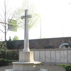
Hauptfriedhof Worms
2 km
St. Peter
345 m
Gottliebenkapelle
1 km
Bergkirche Worms
2.2 km
Maria Himmelskron
2.5 km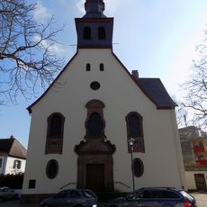
Evangelical Church
2.4 km
Neuer jüdischer Friedhof Worms
2 km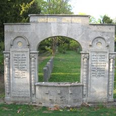
Monumento a los combatientes judíos (Worms)
1.9 km
Jewish cemetery, Worms-Herrnsheim
315 m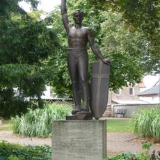
Kriegerdenkmal Worms-Neuhausen
2.4 km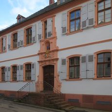
Katholisches Pfarrhaus Worms-Herrnsheim
366 m
Storchenturm
518 m
Wayside shrine
413 m
Memorial, war memorial
457 m
Ausländische Kriegsgefangene aus den Weltkriegen (Briten, Italiener, Rumänen und Russen aus dem Ersten Weltkrieg, Polen aus dem Zweiten Weltkrieg)
1.6 km
Memorial, war memorial
1.6 km
Ehrendenkmal
1.6 km
Memorial, war memorial
1.6 km
Jesuskreuz (15. Jh.)
1.8 km
Den Opfern des Faschismus
1.8 km
Wayside cross
474 m
Wayside cross
408 m
Wayside cross
339 m
Denkmal Friedhof
2 km
Wayside cross
286 m
Vater Rhein
217 m
Diana
176 mReviews
Visited this place? Tap the stars to rate it and share your experience / photos with the community! Try now! You can cancel it anytime.
Discover hidden gems everywhere you go!
From secret cafés to breathtaking viewpoints, skip the crowded tourist spots and find places that match your style. Our app makes it easy with voice search, smart filtering, route optimization, and insider tips from travelers worldwide. Download now for the complete mobile experience.

A unique approach to discovering new places❞
— Le Figaro
All the places worth exploring❞
— France Info
A tailor-made excursion in just a few clicks❞
— 20 Minutes