Raumzeichen
Location: Lerchenberg
Location: Mainz
Inception: January 1, 1987
Creator: Otto Herbert Hajek
Creator: Otto Herbert Hajek
GPS coordinates: 49.96167,8.20951
Latest update: July 20, 2025 16:10
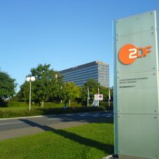
ZDF-Sendezentrum 1
48 m
ZDF-Hochhaus
306 m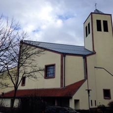
St. Franziskus
1.6 km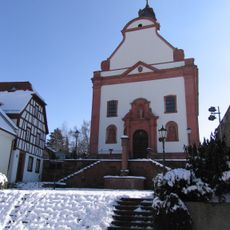
St. Stephan
1.4 km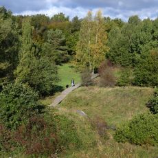
Wiesen am Layenhof - Ober-Olmer Wald
2.7 km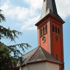
St. Andreas
2.5 km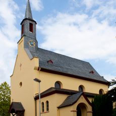
Regina Coeli Church
2 km
Rudolf-Crisolli-Straße
467 m
Franziskanertertiarinnenkloster St. Andreas, Klein-Winternheim
2.5 km
Klein-Winternheim (Samian Ware Discovery Site)
2.6 km
ZDF-Straße
39 m
Hügel der Freundschaft
2.5 km
Monument
1.1 km
Wayside cross
1.1 km
Grabhügel
2.1 km
Memorial
2.2 km
Wayside cross
2.3 km
Wayside cross
2.4 km
Memorial, statue
2.5 km
Marienbrunnen
1.4 km
Work of art
1.9 km
Landmarke
84 m
Statue, Work of art
2.5 km
Memorial, memorial stone
2.5 km
Wayside cross
2.5 km
Catholic church building, wayside shrine, Christianity
1.8 km
Wayside cross, Christianity
2.6 km
Ober-Olmer Ulme
2.6 kmReviews
Visited this place? Tap the stars to rate it and share your experience / photos with the community! Try now! You can cancel it anytime.
Discover hidden gems everywhere you go!
From secret cafés to breathtaking viewpoints, skip the crowded tourist spots and find places that match your style. Our app makes it easy with voice search, smart filtering, route optimization, and insider tips from travelers worldwide. Download now for the complete mobile experience.

A unique approach to discovering new places❞
— Le Figaro
All the places worth exploring❞
— France Info
A tailor-made excursion in just a few clicks❞
— 20 Minutes