Der Schutzmann Otto
Location: Koblenz
Creator: Fritz Berlin
Creator: Fritz Berlin
GPS coordinates: 50.36123,7.59477
Latest update: November 26, 2025 21:08
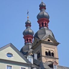
Koblenzer Liebfrauenkirche
78 m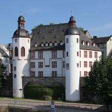
Old Castle
141 m
Haus Metternich
89 m
Vier Türme
100 m
Alte Münze
20 m
Bürresheimer Hof
158 m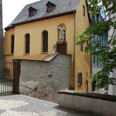
Michaelskapelle
110 m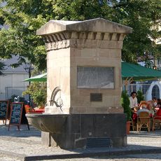
Brunnen Am Plan
112 m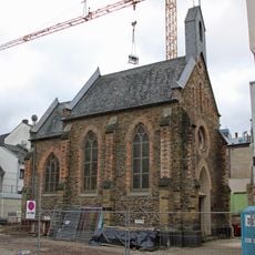
Peter-Friedhofen-Kapelle
168 m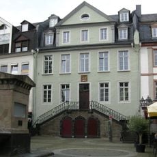
Ehemalige Stadtkommandantur Koblenz
88 m
Dominikanerinnenkloster St. Martin, vorher Godebertsklösterchen, Koblenz
157 m
Dä lange Gummi
118 m
Catholic church building, wayside shrine, Christianity
107 m
Das Pfefferminzje
93 m
Der Resche Hennerich
21 m
Statue, Work of art
76 m
Weisser Gasse
134 m
Florinsmarkt
164 m
Gemüsegasse
78 m
1944 Koblenz 1984
98 m
Marktfrau Ringelstein
2 m
Nikolaus-von-Kues Denkmal
156 m
Floriansmarkt Gebäude
159 m
Flora Daniel
54 m
Juliane Daniel
54 m
Otto Daniel
54 m
Olga Daniel
73 m
Simon Daniel
73 mReviews
Visited this place? Tap the stars to rate it and share your experience / photos with the community! Try now! You can cancel it anytime.
Discover hidden gems everywhere you go!
From secret cafés to breathtaking viewpoints, skip the crowded tourist spots and find places that match your style. Our app makes it easy with voice search, smart filtering, route optimization, and insider tips from travelers worldwide. Download now for the complete mobile experience.

A unique approach to discovering new places❞
— Le Figaro
All the places worth exploring❞
— France Info
A tailor-made excursion in just a few clicks❞
— 20 Minutes