Die Familie
Location: Erkrath
Inception: January 1, 1996
GPS coordinates: 51.22123,6.90993
Latest update: November 26, 2025 14:01
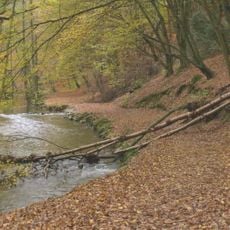
Westliches Neandertal
1.9 km
Haus Morp
1.2 km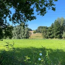
Hubbelrather Bachtal
1.9 km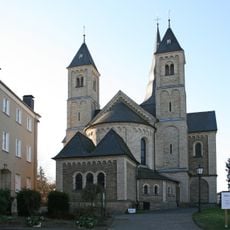
Sankt Johannes der Täufer (Erkrath)
269 m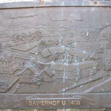
Haus Bavier
54 m
Evangelische Kirche Erkrath
127 m
Düsselaue bei Gödinghoven
1.9 km
Schlackenhalde / Bruchhauser Feuchtwiesen in Erkrath
2.2 km
LSG-Unterbacher Hoehen
1.8 km
LSG-Ankerweg <Raumeinheit A>
1.6 km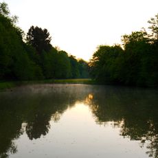
Landschaftsschutzgebiet Stinderbachtal
2.2 km
LSG-Terrassenlandschaft <Raumeinheit A>
1.6 km
Kölner Bucht
1 km
Wasserburg Haus Brück
847 m
Irrgarten
1.3 km
Aussichtspunkt
1.5 km
Aussicht
1.8 km
Scenic viewpoint
2.1 km
Kriegerdenkmal
2.1 km
Scenic viewpoint
1.2 km
Heimat-, Eselsdenkmal
2.1 km
Werner Senger
1.2 km
Wayside cross
611 m
Obelisk Mahnmal
979 m
Maria im Tal
1.6 km
Mauerreste 1. Hochdahler Bahnhof 1841
2.1 km
Memorial
257 m
Wayside shrine, Christianity
1.9 kmReviews
Visited this place? Tap the stars to rate it and share your experience / photos with the community! Try now! You can cancel it anytime.
Discover hidden gems everywhere you go!
From secret cafés to breathtaking viewpoints, skip the crowded tourist spots and find places that match your style. Our app makes it easy with voice search, smart filtering, route optimization, and insider tips from travelers worldwide. Download now for the complete mobile experience.

A unique approach to discovering new places❞
— Le Figaro
All the places worth exploring❞
— France Info
A tailor-made excursion in just a few clicks❞
— 20 Minutes