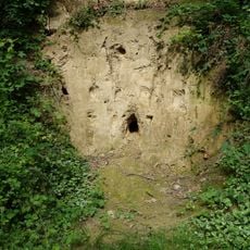
Hubbelrather Bachtal, Protected area in Erkrath, Germany
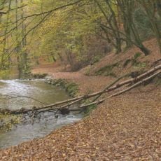
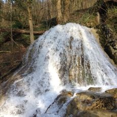
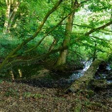
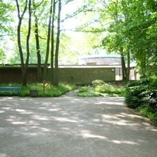
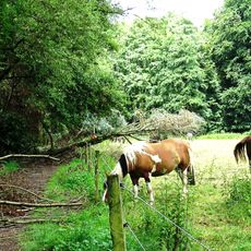
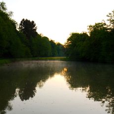
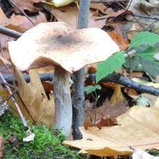
Hubbelrather Bachtal is a protected area in Erkrath with wetland habitats, reed beds, small lakes, and natural beech forests set in gently rolling terrain. The landscape shifts between open water and dense woodland, crisscrossed by streams and paths that visitors can walk through.
The valley received its protected status in 1989 and underwent a review in 2011 to strengthen conservation measures. These actions aimed to preserve the natural structure of the valley with its wetlands, forests, and water bodies for the future.
The name comes from the Hubbelrather Bach stream that defines the valley and shapes how people move through it. Along its course, traces of old pathways and contemporary leisure blend where visitors walk and rest.
Come with sturdy footwear since some trail sections become muddy and difficult to walk, especially after rain. Benches positioned along the route offer good spots for watching wildlife with binoculars.
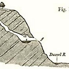
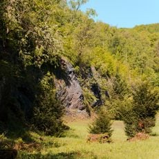
The valley displays a striking asymmetry with a gentle western slope used for farming and a steep, forested eastern side. This contrast means visitors experience two very different landscapes within a short walk.
The community of curious travelers
AroundUs brings together thousands of curated places, local tips, and hidden gems, enriched daily by 60,000 contributors worldwide.