Goats
Location: Gateshead
Creator: Sally Matthews
Creator: Sally Matthews
GPS coordinates: 54.96398,-1.61262
Latest update: November 1, 2025 02:25
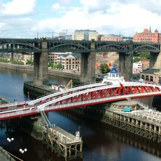
High Level Bridge
413 m
Swing Bridge
480 m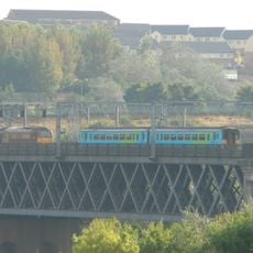
King Edward VII Bridge
245 m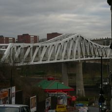
Queen Elizabeth II Metro Bridge
100 m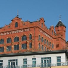
Turnbull's Warehouse
465 m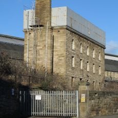
Water Tower South Of Central Station
501 m
35, Close
401 m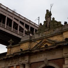
Former Fish Market
493 m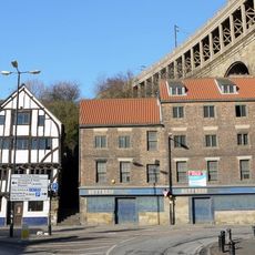
28 And 30, Close
462 m
Clavering House
490 m
Bonded Warehouses
282 m
Former coppersmiths shop and warehouses with offices attached
286 m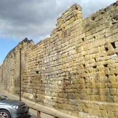
Newcastle upon Tyne town defences: section of curtain wall and town ditch between Forth Street and Hanover Street
410 m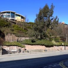
Town Wall North Of The Close And Breakneck Stairs
304 m
32, Close
458 m
Friar House
467 m
Number 20 And Building To Rear (number 18 Now Demolished)
387 m
Riverside Rivets
287 m
RIse and Fall
379 m
Riverside Rivets
425 m
Cone
254 m
Rolling Moon
150 m
Counterpoise
463 m
Ribbon Railings
304 m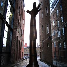
Work of art
415 m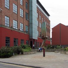
Work of art, sculpture
471 m
Scenic viewpoint
426 m
Scenic viewpoint
352 mReviews
Visited this place? Tap the stars to rate it and share your experience / photos with the community! Try now! You can cancel it anytime.
Discover hidden gems everywhere you go!
From secret cafés to breathtaking viewpoints, skip the crowded tourist spots and find places that match your style. Our app makes it easy with voice search, smart filtering, route optimization, and insider tips from travelers worldwide. Download now for the complete mobile experience.

A unique approach to discovering new places❞
— Le Figaro
All the places worth exploring❞
— France Info
A tailor-made excursion in just a few clicks❞
— 20 Minutes