Rudder
Location: Newcastle upon Tyne
Creator: Andrew Burton
Creator: Andrew Burton
GPS coordinates: 54.97075,-1.59954
Latest update: July 20, 2025 17:43
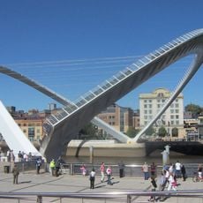
Gateshead Millennium Bridge
146 m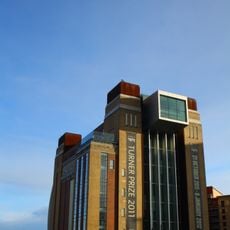
Baltic Centre for Contemporary Art
210 m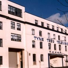
Television Centre, Newcastle upon Tyne
154 m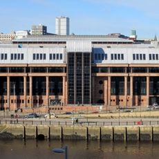
Law Courts
259 m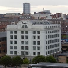
Cooperative Wholesale Society Warehouse
50 m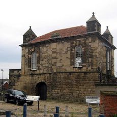
Sallyport Or Wall Knoll Tower
266 m
Salvation Army Men's Palace
146 m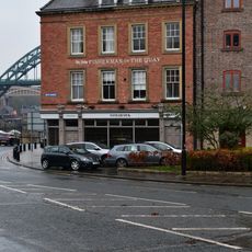
The Tyne Public House
174 m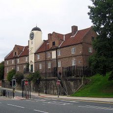
The Keelmen's Hospital
211 m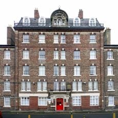
Industrial Workers' Dwellings
231 m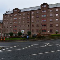
Love Lane Warehouses
181 m
Newcastle upon Tyne town defences: section of curtain wall including Sallyport or Wall Knoll Tower
269 m
Warehouse To West Of Warehouse Formerly Known As Baxter's
244 m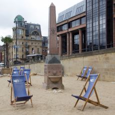
Wesley Memorial Fountain
219 m
Work of art
105 m
Work of art
117 m
NCL_25
195 m
NCL_05
196 m
NCL_25
208 m
Work of art
131 m
River God
85 m
NCL_05
186 m
NCL_14
171 m
NCL_14
168 m
Swirle Pavilion
52 m
Hadrian's Wall in wall mile 4, sections of wall between Crawhall Road and Jubilee Road
262 m
Column and Steps
22 m
Blacksmiths Needle
121 mReviews
Visited this place? Tap the stars to rate it and share your experience / photos with the community! Try now! You can cancel it anytime.
Discover hidden gems everywhere you go!
From secret cafés to breathtaking viewpoints, skip the crowded tourist spots and find places that match your style. Our app makes it easy with voice search, smart filtering, route optimization, and insider tips from travelers worldwide. Download now for the complete mobile experience.

A unique approach to discovering new places❞
— Le Figaro
All the places worth exploring❞
— France Info
A tailor-made excursion in just a few clicks❞
— 20 Minutes