Black Stack
Location: Rathdrum ED
Location: The Municipal District of Arklow
GPS coordinates: 52.94391,-6.23949
Latest update: October 25, 2025 23:41
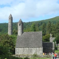
Glendalough
9.5 km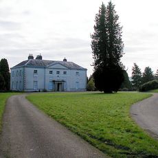
Avondale House
3.6 km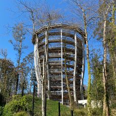
Viewing Tower
3.7 km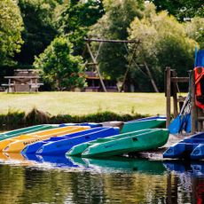
Clara Lara FunPark
4 km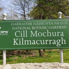
National Botanic Gardens Kilmacurragh
6.4 km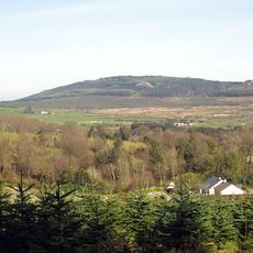
Carrick Mountain
6.6 km
Vale of Clara
222 m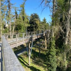
Treetop Walk
3.6 km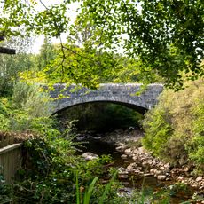
Laragh Bridge
8.2 km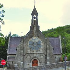
St Joseph's Church
7.1 km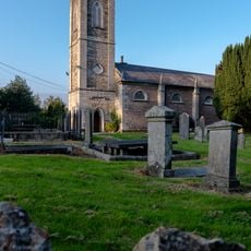
Glenealy Church
6.8 km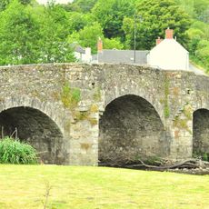
Ballinaclash Bridge
4.7 km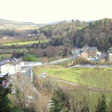
Rathdrum Bridge
1.2 km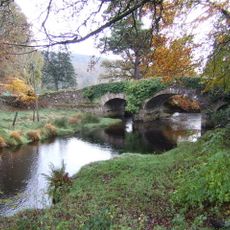
Derrybawn Bridge
7.7 km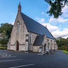
St Kevin's Church
8.6 km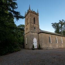
St John's Church
8.1 km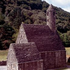
St. Kevin's Church (Glendalough)
9.4 km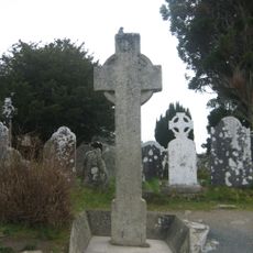
St. Kevin's Cross
9.5 km
Clara Lara Funpark
4.1 km
Avondale House
3.6 km
Meeting of the Waters
6.6 km
Wicklow 400
1.7 km
Butterflies
8.4 km
Work of art
5.2 km
Mottee Stone
6.7 km
Scenic viewpoint
7.1 km
Scenic viewpoint
3.4 km
Scenic viewpoint
3.7 kmReviews
Visited this place? Tap the stars to rate it and share your experience / photos with the community! Try now! You can cancel it anytime.
Discover hidden gems everywhere you go!
From secret cafés to breathtaking viewpoints, skip the crowded tourist spots and find places that match your style. Our app makes it easy with voice search, smart filtering, route optimization, and insider tips from travelers worldwide. Download now for the complete mobile experience.

A unique approach to discovering new places❞
— Le Figaro
All the places worth exploring❞
— France Info
A tailor-made excursion in just a few clicks❞
— 20 Minutes