Дендрогліф СССР50
Location: Керецьківська сільська громада
GPS coordinates: 48.50046,23.34405
Latest update: July 20, 2025 20:51
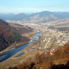
Mizhhirya
12.1 km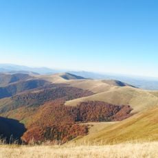
Borzhava Ridge
532 m
Castle in Bronka
12.6 km
Château de Borjova
12.6 km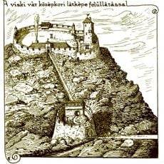
Visk Castle
12.6 km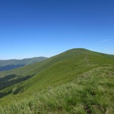
Zhyd-Mahura
13.9 km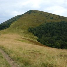
Kuk
4.8 km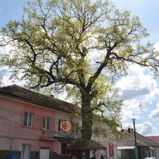
Дуб звичайний
11.9 km
Hrab
11.7 km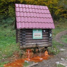
Spring №226 Natural Monument
13 km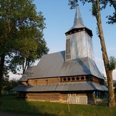
Saint Demetrius of Thessaloniki Church in Repynne
11.7 km
Річанський заказник
8.9 km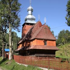
Church of the Presentation of Mary
13.9 km
Березниківські праліси
12.7 km
Jezero Repynne
4.4 km
Грабовець
13.2 km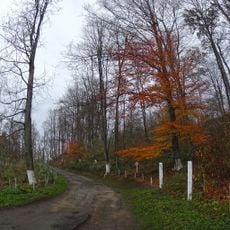
Парк «Чонок»
9.1 km
Ріка
9.1 km
Дуб звичайний
9.2 km
Scenic viewpoint
11.4 km
Sculpture, Work of art
11.2 km
Scenic viewpoint
11.7 km
Scenic viewpoint
12.9 km
Waterfall
11.6 km
Водоспад Марія
13.2 km
Водоспад Анничка
13.6 km
Водоспад Бук
7.1 km
Scenic viewpoint
11.7 kmReviews
Visited this place? Tap the stars to rate it and share your experience / photos with the community! Try now! You can cancel it anytime.
Discover hidden gems everywhere you go!
From secret cafés to breathtaking viewpoints, skip the crowded tourist spots and find places that match your style. Our app makes it easy with voice search, smart filtering, route optimization, and insider tips from travelers worldwide. Download now for the complete mobile experience.

A unique approach to discovering new places❞
— Le Figaro
All the places worth exploring❞
— France Info
A tailor-made excursion in just a few clicks❞
— 20 Minutes