Contour 290
Location: Montgomery County
Creator: Richard Serra
Creator: Richard Serra
GPS coordinates: 39.05889,-77.24793
Latest update: November 6, 2025 16:46
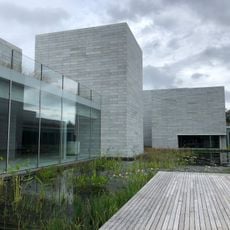
Glenstone
549 m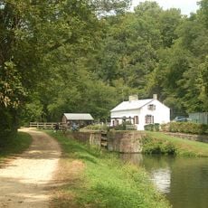
Swains Lock
3.1 km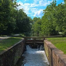
Lock 22
3.6 km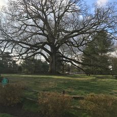
Travilah Oak
1.7 km
Glenstone Museum
253 m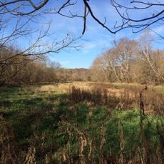
Dierssen Wildlife Management Area
4.8 km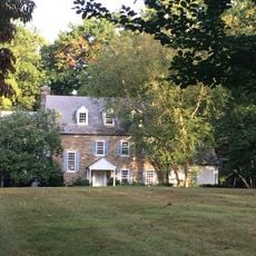
Edward Beale House
2.2 km
Muddy Branch
3.2 km
Bedfordshire Park
4 km
Serpentine Barrens Conservation Park
1.9 km
Aberdeen Park
4.6 km
Kilgour Branch Park
3.7 km
Eldwick Swim and Tennis Club
4.4 km
Split Rocker
233 m
Lock 21: Swains Lock
3.1 km
Lock 21 “Swains” Campground
3.1 km
Potomac River Water Filtration Plant
2.4 km
Compression Line
225 m
Negro Sunshine
332 m
Riverbend Park Nature Center
4.1 km
Smug
111 m
(Serra)
294 m
Horse and rider
273 m
(Gober)
150 m
(Serra)
337 m
(Gonzalez-Torres)
250 m
(Goldsworthy)
426 m
(Cardiff & Miller)
516 mReviews
Visited this place? Tap the stars to rate it and share your experience / photos with the community! Try now! You can cancel it anytime.
Discover hidden gems everywhere you go!
From secret cafés to breathtaking viewpoints, skip the crowded tourist spots and find places that match your style. Our app makes it easy with voice search, smart filtering, route optimization, and insider tips from travelers worldwide. Download now for the complete mobile experience.

A unique approach to discovering new places❞
— Le Figaro
All the places worth exploring❞
— France Info
A tailor-made excursion in just a few clicks❞
— 20 Minutes